A large, unusually powerful and nearly stationary system has been producing several rounds of severe storms over the past few days. This was the system responsible for the high winds that sank the tourist boat in Missouri on Thursday evening. Another long-lived squall line led to more than 200 reports of large hail or damaging winds from Indiana to Florida late Friday through early Saturday. The same system has generated a rare summertime Nor’Easter. It’s the beginning of several days worth of heavy rain east of the Appalachians.
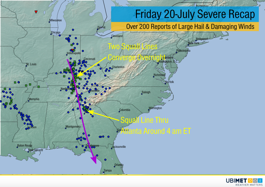
Two squall lines developed on Friday afternoon in the Ohio and Tennessee Valleys. The squalls converged overnight and rolled south, reaching northern Florida late Saturday morning (see radar animation above). Many of the damaging wind and hail reports (see map below) came in during the overnight hours, a particularly dangerous situation due to low visibility and lack of severe awareness. The squall line finally faded on Saturday afternoon.
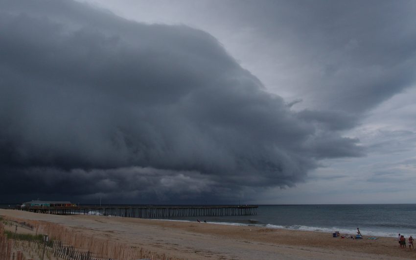
The overall upper level system responsible for the severe storms remains over the Midwest today. It is forecast to move very slowly over the next several days. A persistent tap of Atlantic and Gulf moisture will mean heavy rains from the Appalachians east (see map below). Widespread amounts of 2-4 inches will accumulate. Many locations will see heavier totals of 4-8 inches by the end of next week. Localized flooding will be a daily threat, and river flooding could become an issue as well. Lead photo courtesy flickr user milkmantep.