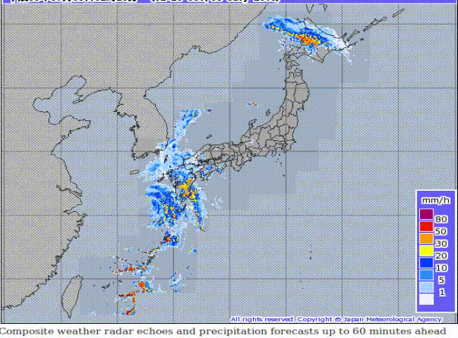
Typhoon Prapiroon has taken a rightward turn and is now expected to move closer to southern Japan than previously forecast. Outer rainbands are already starting to move onshore (see radar animation below) and conditions will continue to deteriorate through Tuesday.
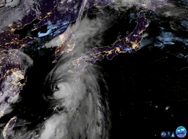
Prapiroon has maintained it’s intensity overnight. It still has an eye-like feature indicative of steady strength (see satellite animation loop above). Conditions are still expected to become much less favorable soon. Prapiroon will weaken as it passes between South Korea and Japan. In addition, Prapiroon is a small storm, and strong winds and flooding rains remain confined to a relatively small area near the center. However, within that small range, expect significant impacts.
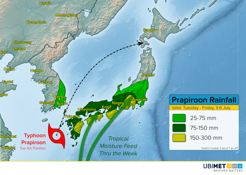
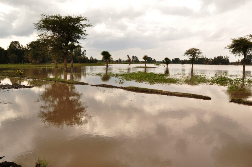
The slight rightward deviation means somewhat more impactful rain and wind for southern Japan. The island of Kyushu and far southeastern South Korea, near Busan, will see wind gusts up to 100 kph in stronger bands. A persistent southerly flow in the wake of the typhoon will feed rich tropical moisture into the mountains of central and southern Japan through much of the week. Some favored locations will see upwards of 300 mm of rainfall this week, leading to major flooding and mudslides.