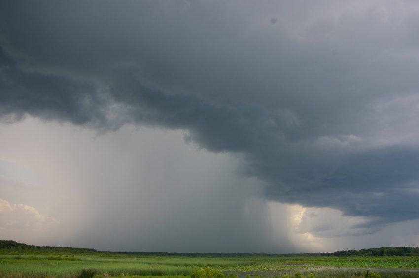
A series of storms will carry abundant moisture into Chile starting late Wednesday with heavy, flooding rains a major threat. The train of moisture will continue, especially for central sections, through the weekend. The west-facing slopes of the Andes will be particularly hard-hit.
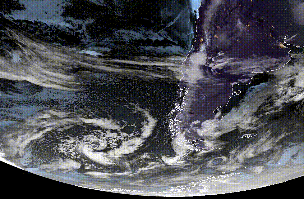
The animation above shows the lead storm spinning off the coast of southern South America. This low will move east through the next few days, dragging a rich plume of moisture into central Chile. The front will be nearly stationary affecting the central and southern sections through early Saturday. Later in the weekend, expect heavy rain for the more densely populated northern portions of Chile, including the capital, Santiago.
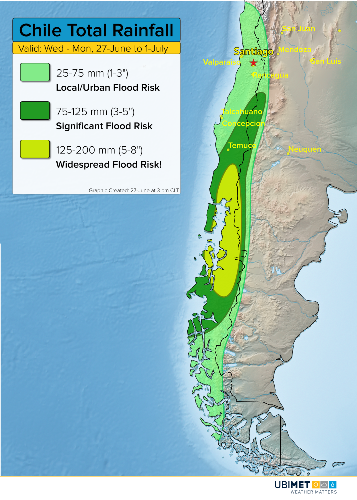
The heaviest rainfall of 125-200 mm (5-8 inches) will fall in the regions of Los Rios, Los Lagos, and Aysen, as well as the adjacent border lands of Argentina. The foothills and west-facing mountains will see the heaviest rainfall with flash flooding and mudslides likely. Nearby regions will see 75-125 mm (3-5 inches). Flooding will be more localized elsewhere with totals of 25-75 mm (1-3 inches), including the capital district. The mountains will see heavy, wet snowfall during this time frame with some locations seeing up to a half-meter. Snow levels will be 2,000 to 3,000 meters in the north, around 1,000 meters in the central sections, and close to sea level in the south.