Rounds of severe thunderstorms will continue across the Plains this weekend. Damaging wind and hail along with flash flooding is likely, and by late Sunday afternoon a few tornadoes could be embedded in the strongest storms.
Saturday
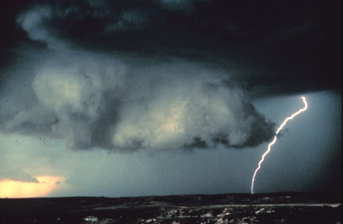
A cluster of severe thunderstorms erupted across the High Plains of Colorado Saturday afternoon. These storms tracked southeast into Kansas causing scattered reports of large hail and wind damage.
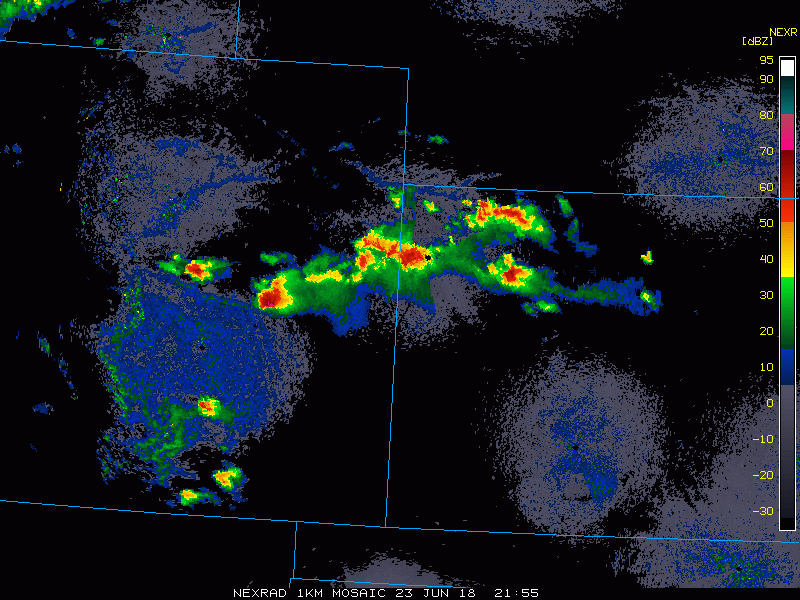
Golf ball to hen egg-sized hail was common from the storms across eastern Colorado. One of the severe thunderstorms was photographed by a twitter user located to the northwest of Lamar, Colorado.
Storm northwest of Lamar, CO at 6:45 PM #cowx pic.twitter.com/8nm1LSv0rZ
— Walker Ashley (@WalkerSAshley) June 24, 2018
Sunday
A stronger disturbance will move into the Plains on Sunday sparking a greater risk for severe thunderstorm development.
A cold front moving southeastward will ram into a warm and moist flow from the Gulf of Mexico triggering some explosive thunderstorms to develop across western Kansas in the late afternoon hours. Initially, the environment will favor some rotation with the lead storms leading to the potential for a few tornadic cells.
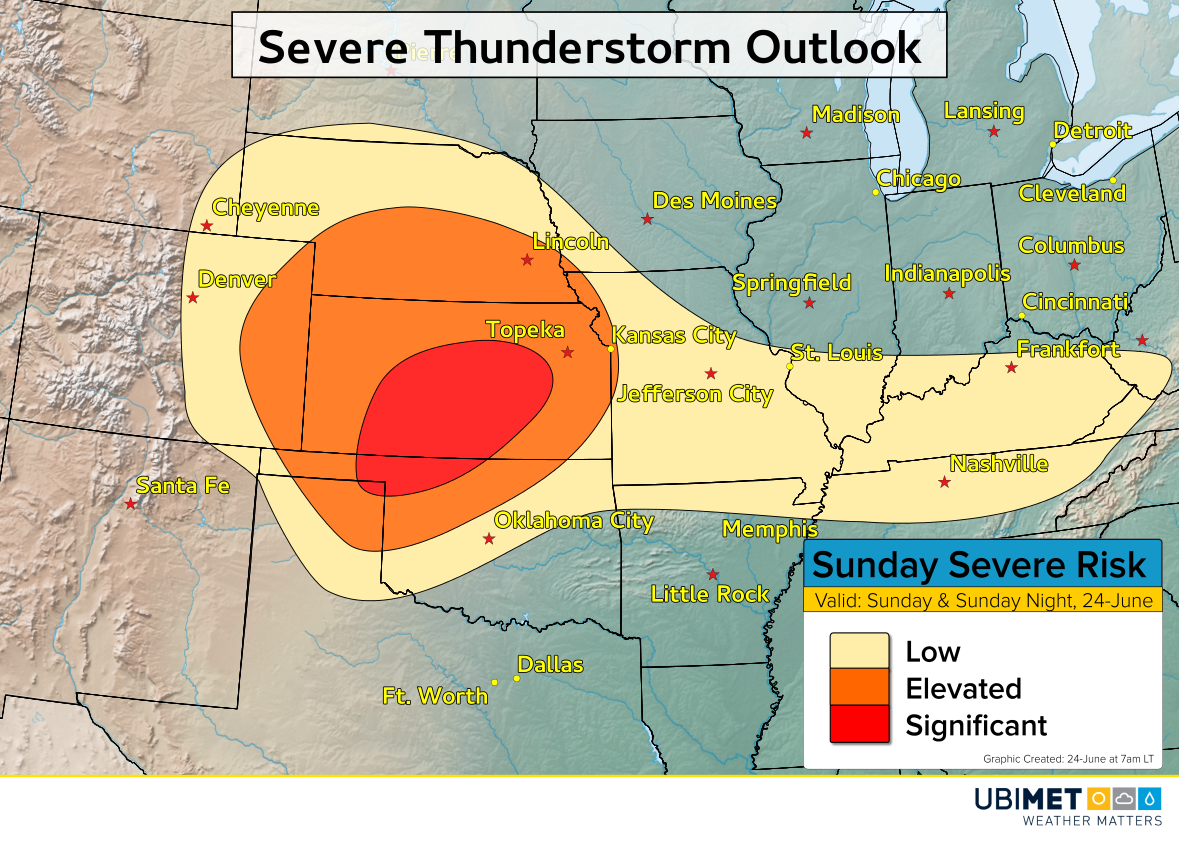
The storms will track eastward and bring a damaging wind, hail, and flashing flooding threat to the central Plains. The heaviest storms have the potential to bring 2-5 inches of rain in just a few hours of time.
The disturbance responsible for the severe weather will be slow to move out early next week, consequently, the risk for severe weather will linger across portions of the Plains into Monday.