
The new week will get off to a hot start across the Northeast with high temperatures approaching record levels.
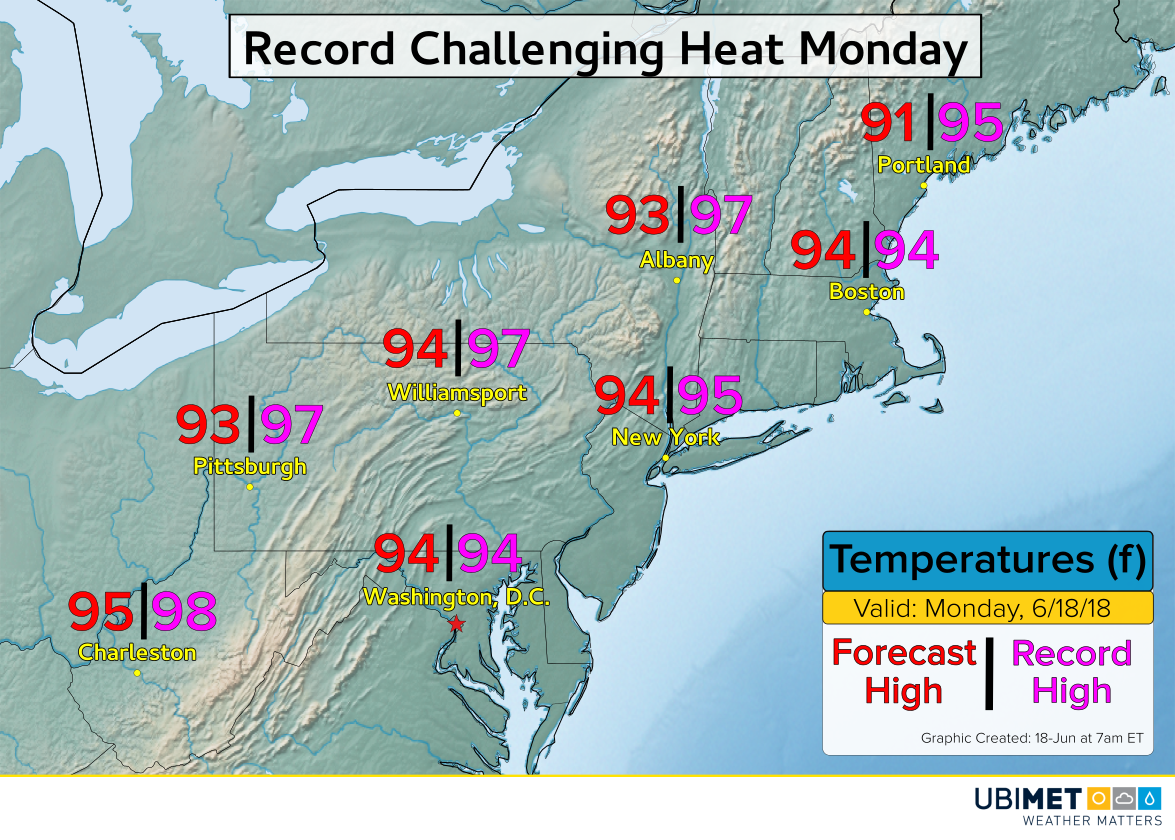
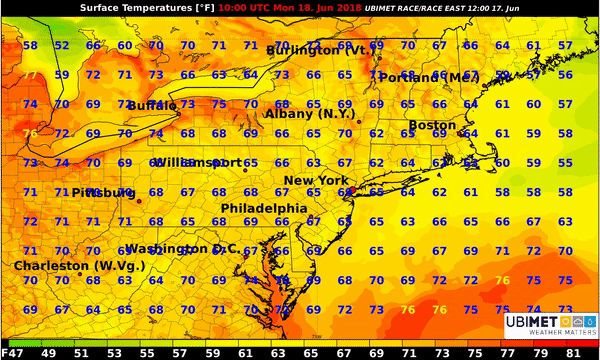
As Morecast.com meteorologists discussed on Saturday, heat across the central US will build to the East Coast on Monday. Some sunshine combined with a hot land breeze from the southwest will push many cities above 90°F. Across the urban corridor from Washington D.C. to Boston temperatures will soar into the middle 90’s.
Impacts of Heat
The National Weather Service has issued a plethora of heat advisories across the Northeast from New York and Pennsylvania to the New England coast.
In addition to the hot air temperatures for Monday, increasing humidity will push the heat index over 100 degrees across parts of the coastal plain.
Prolonged exposure to these conditions, especially under direct sunlight which can increase the effective heat index as much as 15 degrees, can lead to heat stroke. This is a potentially deadly illness responsible for 600 deaths on average per year in the U.S.
If you have outdoor plans on Monday, drink plenty of fluids, use sunscreen, and take frequent indoor breaks.
Thunderstorm Risk
A cold front will begin to approach from the north and move into the Northeast Monday afternoon and night. As the front collides into the hot and humid air mass, scattered thunderstorms are expected to erupt.
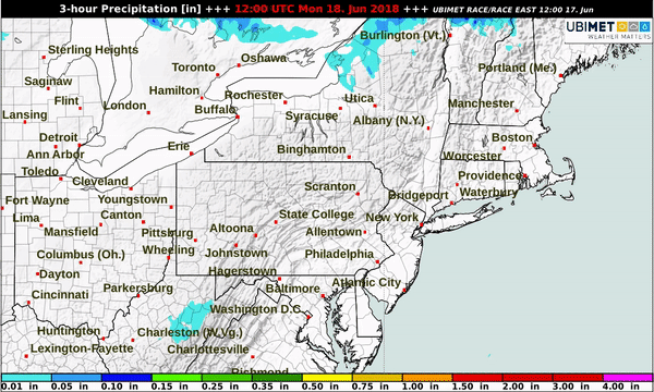
Some of the storms Monday afternoon and evening across the Great Lakes, New York state, and northern New England could turn severe. Damaging winds will be the biggest concern with any severe thunderstorm.
Scattered showers and storms will continue moving southward with the cold front into the Mid-Atlantic later Monday night and on Tuesday. Consequently, the hottest temperatures will be forced to the south of the Mason-Dixon line.
By Wednesday, all of the Northeast will return to more seasonable temperatures for mid June.