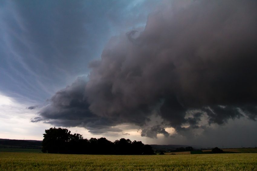
Plenty of warm, moist air will surge north into the Northern Plains on Thursday. This unstable air mass will meet a fairly strong jet stream near the international border. The combination will produce a strong threat for severe storms from Thursday afternoon into early Friday.
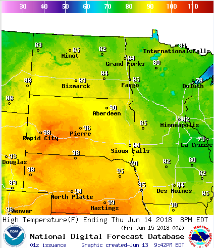
Highs will reach well into the 90s on Thursday over portions of the Central Plains, even as far north as South Dakota (see graphic above). Extreme instability will develop in this environment by early to mid-afternoon. Severe storms are expected to develop near or just north of the border after 2 pm CT. These storms will spread south and east through the afternoon, persisting as they move east well into the overnight hours.
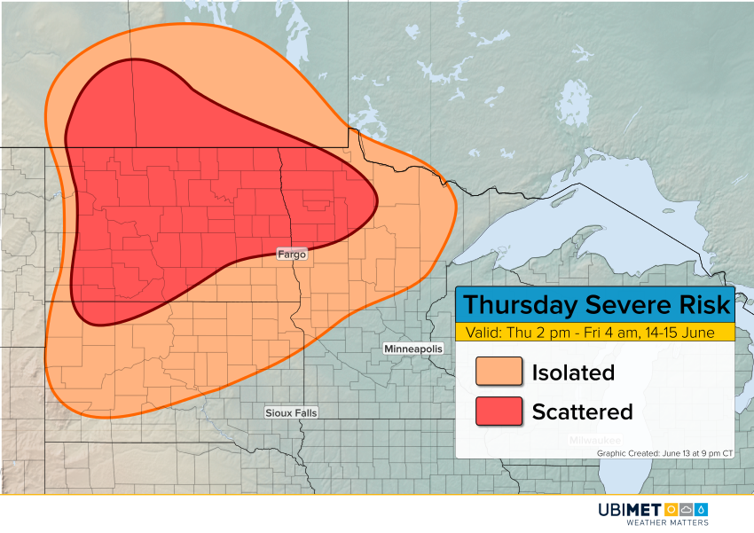
The strongest cells will be capable of producing very large hail up to 2.5″ (6 cm) in diameter as well as isolated tornadoes through the afternoon and evening hours. Damaging wind gusts to 75 mph (120 kph) will also occur, especially if storms consolidate into an overnight squall line.