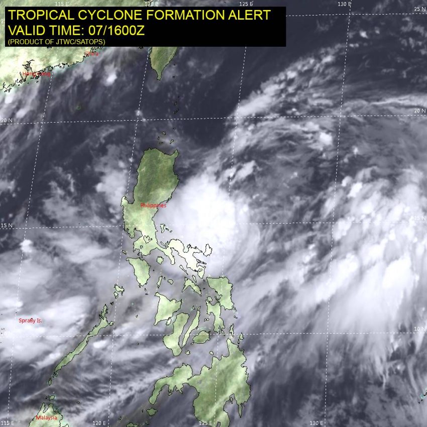
A broad but active area of low pressure continues to consolidate just northeast of the Philippines. This area is primed for tropical cyclone development and will be monitored closely over the next few days.
Model guidance suggests the low pressure will continue to become better organized and could become a tropical depression shortly. Steering currents will bring it north initially before turning it to the northeast (see animation below courtesy of NCEP). On this track it will miss most of the Ryukyu islands of the west-central Pacific between Taiwan and Japan. However, it will be close enough that any deviation to the west would bring much more severe impacts.
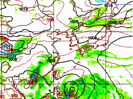
Additionally, the models indicate that the potential cyclone could merge with another storm system over Japan. This merger will increase the threat for heavy rain and high winds for the Japanese home islands, even if the cyclone doesn’t make landfall. The likely time frame for significant impacts in Japan is Monday into Tuesday.