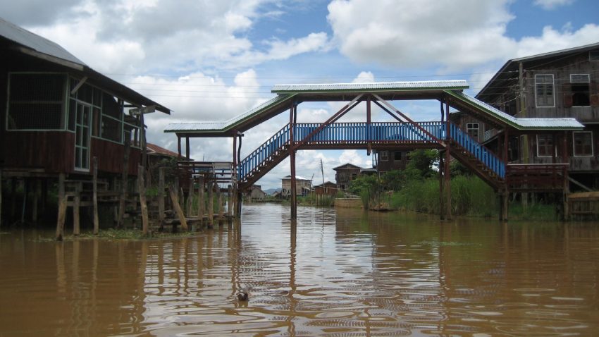
Rounds of heavy rain and thunderstorms will bring a significant risk of flash flooding to Myanmar this week.
Myanmar Heavy Rain Details
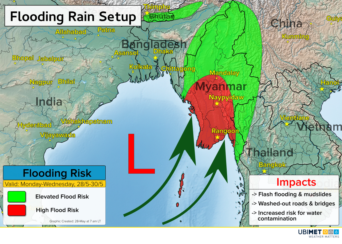
The heaviest of the rain is expected from Monday through Wednesday across the north-central coast of Myanmar.
A high risk for flash flooding will exist which includes impacts such as mudslides, washed-out roads and bridges, as well as an increased likelihood for water contamination.
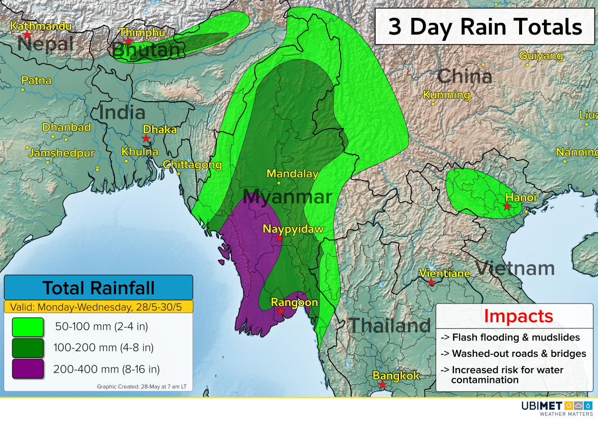
200-400 mm of rain is likely across central Myanmar, which includes Naypyidaw and Yangon (listed as Rangoon on the maps in this article). Elsewhere, a widespread area of over 100 mm of rain is expected over a 3-day period.
UBIMET meteorologists are tracking a disturbance across the Bay of Bengal that will send tropical moisture from the Indian Ocean northward. This tropical moisture will be the fuel for the heavy thunderstorms.
The heaviest rain risk will diminish on Thursday and Friday, but lingering moisture will still bring a risk for scattered showers and storms into the upcoming weekend.