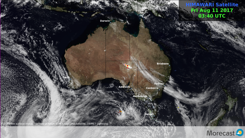
Weather replay of a week in the life of the Australian climate
The past seven days saw Winter maintain it’s tempestuous grip across the southern Australian states of Western Australia, South Australia, Victoria and Tasmania.
A succession of powerful weather systems brought regular periods of wild weather across much of the region along with epic snowfall totals across the Snowy mountains and Alpine ranges.
Snowtacular conditions affected the Victorian and New South Wales ski resorts.
Estimated snowfall accumulations:
Thredbo >130cm
Perisher Valley 100cm
Mt Hotham 100cm
Mt buller >75cm
Falls creek >70cm
Watch the #snow grow! 100+cm over the weekend coming.@mtbuller @_hotham @fallsaustralia @ThredboResort @SNOWSEARCH_aus pic.twitter.com/tMmXK3s06N
— Morecast Australia (@Morecast_Au) August 4, 2017
Good morning from north of the wall. A final 5cm top overnight and the total for the #BlizzardOfOz has come to 135cm! #Day5 #GoT pic.twitter.com/y3CvceRo7H
— Thredbo (@ThredboResort) August 7, 2017
Severe thunderstorms affected parts of South eastern Queensland, unusual for the time of year.
Wild weather lashed SW WA once again while eastern parts of the state enjoyed unseasonably warm conditions.
Heads up #Perth! Nasty afternoon of #weather coming. #Storms possible with the front. Windy and showers tomorrow. #WA pic.twitter.com/LOFZmEgimt
— Morecast Australia (@Morecast_Au) August 7, 2017
>40mm for #Perth!, heaviest Aug rain in 3 yrs. #Thunderstorm risk with small hail this arvo!@weather_wa @TheWAWG #7News #9News @PerthWXLive pic.twitter.com/u4CmiE5Ndb
— Morecast Australia (@Morecast_Au) August 8, 2017
Hot to not! SW #WA shivers while temps soar across the state's far SE, 10°C above the Aug ave! Forrest 27.6°C @weather_wa @TheWAWG #7News pic.twitter.com/aUuresdihH
— Morecast Australia (@Morecast_Au) August 9, 2017
Damaging winds hit the Melbourne region on Thursday.
Strongest gusts
Melbourne airport 98km/h
Heads up #Melbweather! Wild weather day on Thursday! Risk of damaging #winds esp late morn & early arvo! #7News @theage #9News @WeatherWear1 pic.twitter.com/NpGS1k5Rz9
— Morecast Australia (@Morecast_Au) August 9, 2017
Perth not out of the woods yet! – more to come later Friday again.
Heads up #Perth, squally conditions on the way again later today! risk of damaging #winds! @weather_wa @TheWAWG #7News #9News @PerthWXLive pic.twitter.com/sd8iCHpw2k
— Morecast Australia (@Morecast_Au) August 10, 2017
Stay one step ahead of the weather with Morecast. Daily and hourly forecasts to any location Australia wide. Check out our Facebook and Twitter as well as Morecast.com for the all latest.
If you are out and about over the coming days why not check out the weather conditions along the way with the Plan your route feature.