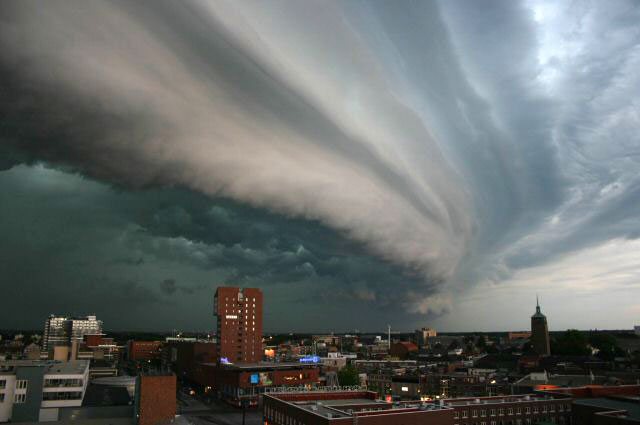
Celebrating the holiday with a cookout or pool party today? Keep an eye to the sky if you’re in the Plains or Upper Midwest!
Synoptic Setup
A surface front draped through the Upper Midwest will be a focal point for storm development this afternoon and evening. Additionally, lee side cyclogenesis east of the Rockies will be responsible for more storm development through the High Plains. Late this evening, storms through the High Plains could merge and travel southeast through the Central Plains, continuing the storms into the overnight hours.
Impacts
Plenty of heat and moisture are in place to fuel these storms, along with a favorable low-level jet in the Plains to keep storms firing after dark in this region. High wind gusts over 60 mph and large hail to 2 inches in diameter will be the main threats with these storms.

Keep checking us out for the latest and greatest in severe weather breaking news and interesting weather stories! We’ll have updates as necessary on Morecast.com, Twitter, and Facebook!