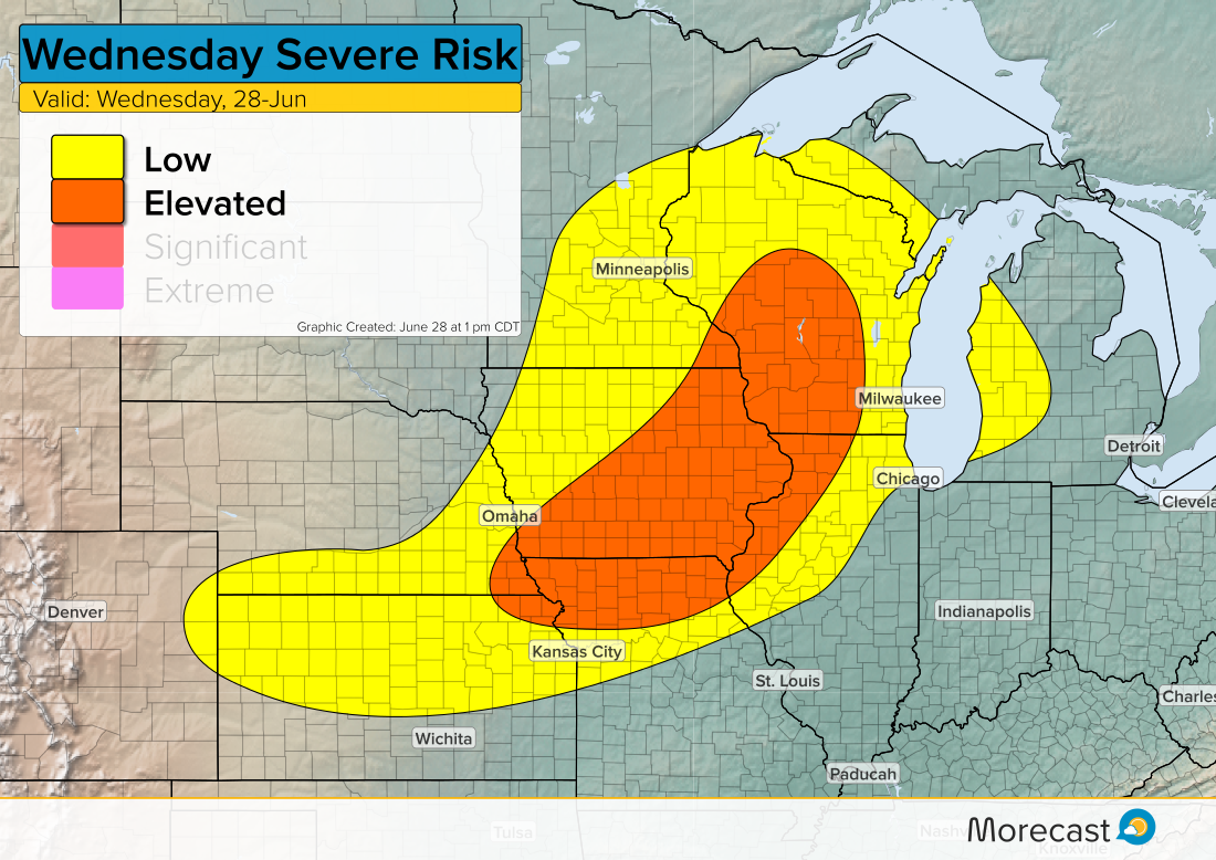
Severe storms with large hail, damaging winds and an isolated tornado will move through the Midwest Wednesday afternoon into evening.
Discussion:
A surface low combined with instability will trigger storms to develop along and ahead of the front. There’s potential for a few tornado spin ups but the main hazard will be large hail and strong wind gusts. Storms are expected to develop around 3-4 pm CDT and continue into well into the night.

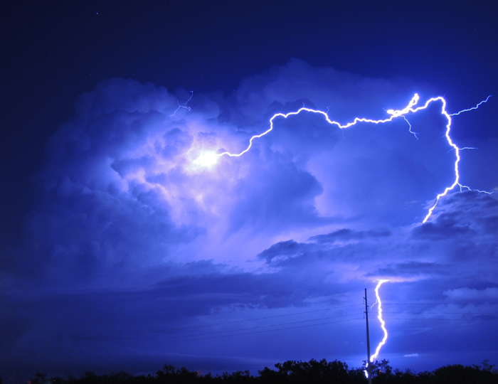
Follow us on Twitter and Facebook for severe weather updates regarding todays threat. Photo credit: NOAA Photo Library
