Breakdown:
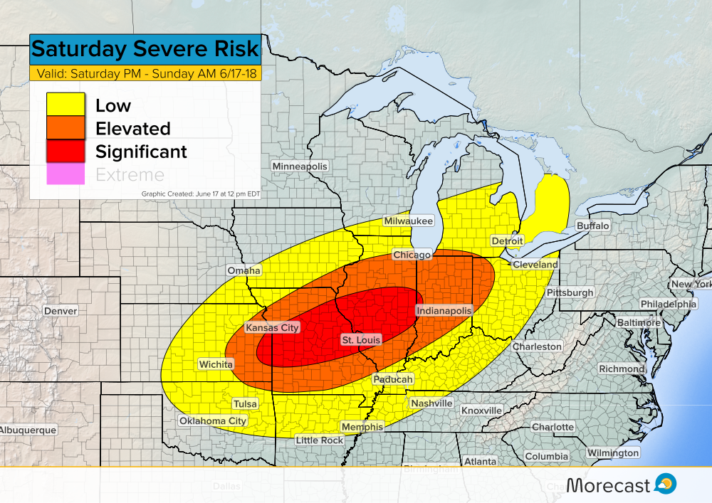
Another round of severe weather is expected Saturday afternoon and will last into Sunday morning. The threat area shifts south and east compared to those impacted Friday.
Currently, a surface boundary stretches from the Oklahoma panhandle up through central Kansas and into eastern Iowa. As this boundary slowly moves southeast during the afternoon hours, severe storms are likely to develop ahead of it.
Main Threats:
Similar to Friday’s severe storms, the main hazards on Saturday will primarily be large hail and damaging winds. Hail sizes could exceed 2 inches in certain areas and damaging wind gusts may exceed 70 mph. As storms develop, an isolated tornado threat may also exist.
When traveling, watch out for heavy rain and flash flooding. Take necessary action if severe weather approaches: secure loose outdoor items, move vehicles indoors, and relocate to a safe area.
Timing:
Storms are expected to develop in the mid afternoon hours around 3PM CDT and generally move from west to east.

Upload any storm related weather photos to the Morecast app if conditions are safe. Follow along with the Morecast Team via our Facebook and Twitter pages for updates on the severe weather.
For up to the minute forecasts for your exact location, be sure to visit our website.
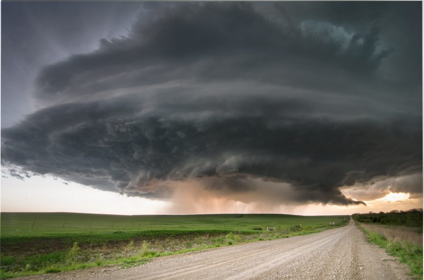
Featured photo taken by flickr user Lane Pearman in Severy, Kansas.
