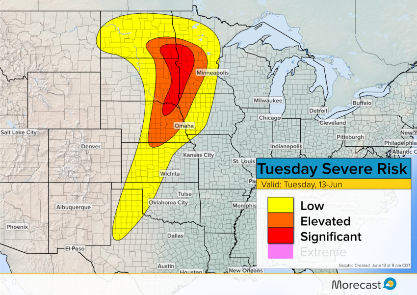
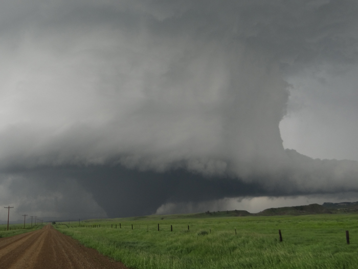
The strong upper-level disturbance from Monday continues to move through the area. High instability with moisture will lead to a threat for tornadoes, large hail and strong damaging winds.
The ‘Significant’ risk area will see the highest threat of tornadoes today. Storms will start to develop in the Plains around 4pm CDT. As the storms move northeast there is potential for a squall line of storms to develop which will produce a greater threat for hail and strong winds.

Morecast meteorologists will keep you updated through this afternoon and evening. Use morecast.com and our Facebook and Twitter feeds for the latest! Lead photo credited to: NOAA Photo Library.
