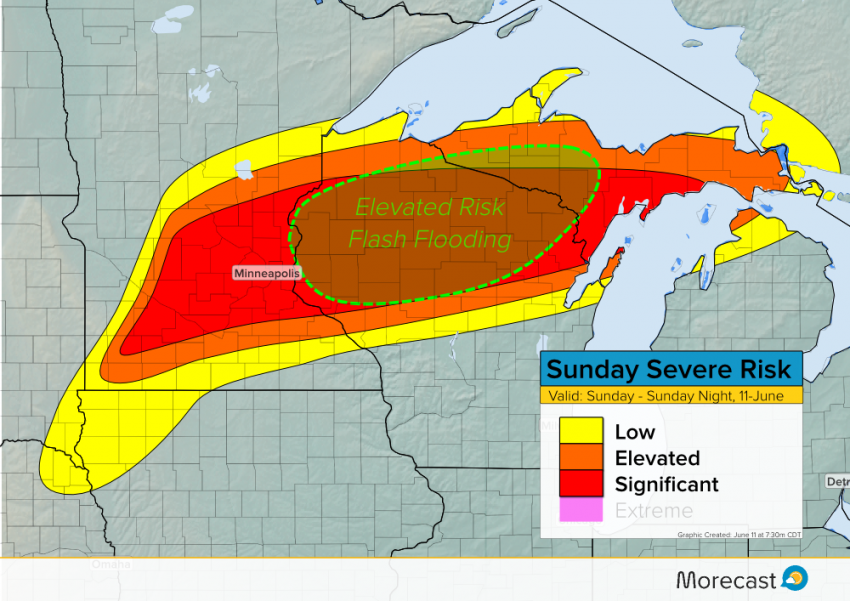
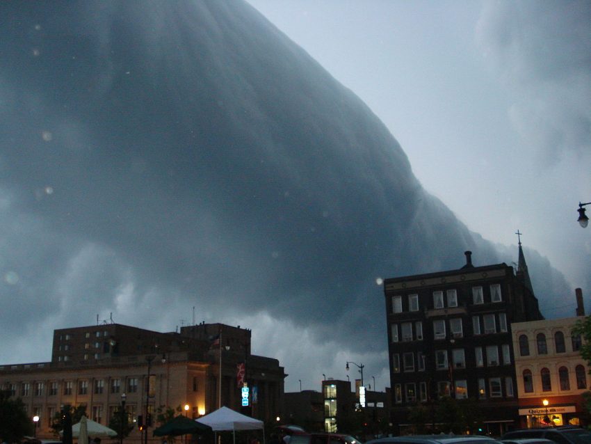
A squall line of severe storms is producing high winds and very large hail as it rolls across the Upper Midwest this morning. These storms will threaten Minneapolis shortly as they move quickly east-northeast!
We’ve seen unusual early-morning reports of wind gusts exceeding 70 mph and hail to three inches in diameter. The squall line responsible is sprinting east-northeast and will affect Minneapolis before 9 am CDT. Take precautions now such as securing loose objects in the yard and moving vehicles under cover if possible!

The storms will move across northern Wisconsin through early this afternoon before approaching the U.P. of Michigan. Flash flooding will become an increasing threat later this afternoon into tonight. Multiple rounds of storms may affect northern Wisconsin with rainfall totals up to six inches possible.
For all the latest forecast information depend on morecast.com and the Morecast app! We’ll continue to have timely updates over the Morecast social media pages as well.
