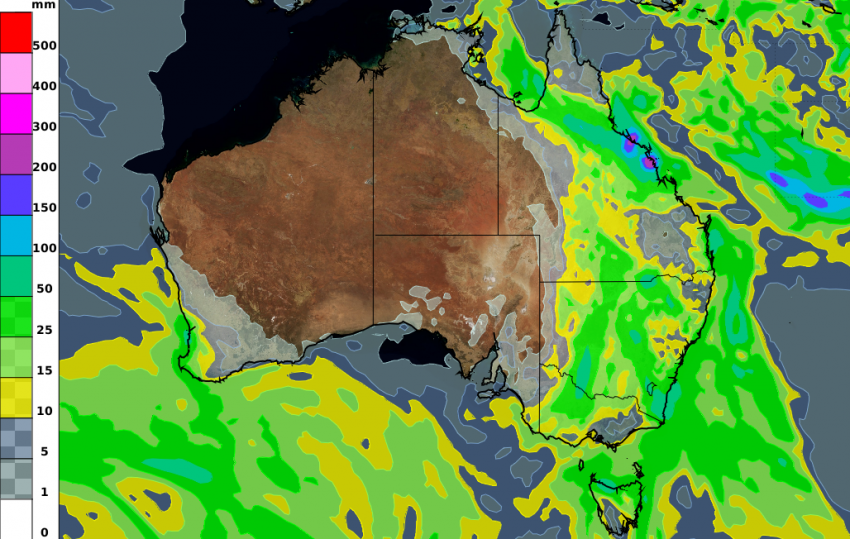
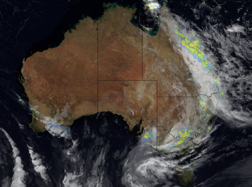
Widespread late Autumn rainfall has occurred across eastern Australia.
In Queensland, several towns between Mackay and Cairns have seen over 5 times their monthly average rainfall. One such place is Townsville, which is known for missing out when big rain events are forecast, but not this time! The difference with this event was the convergence of rainfall from the north-east and north-west, combining to deliver high totals. Townsville recorded over 170mm in the past two days which is well above their May average of 32mm.
Areas north of Brisbane recorded 30 to 50mm with one isolated total of 109mm in the past 24 hours!
Parts of central New South Wales and north-west Victoria have also seen a much needed 20 to 40mm.
This rain is forecast to spread further south over the next 24-48 hours. Sydney may get 20-30mm today and Northern Tasmanian towns such as Davenport look likely to see 40 to 80mm over the weekend.
The south-west of Australia hasn’t missed out on the wet stuff either, with 30 to 60mm falling south of Perth from a cold front in the last 24 hours. Another 10-20mm is expected to come over the weekend.