A combination of moisture, upper-level energy and winds, continue to trigger severe storms.
Afternoon Briefing (11am CDT April 30)
Sunday morning continues to be just as active as Saturday. Tornado watches are currently active for Louisiana, Mississippi and Alabama with the potential for them to extend eastward as the day progresses. Multiple tornadoes have already been observed including one in Vicksburg, LA.
VICKSBURG WEATHER: This picture just sent to the First Alert Weather team from Amy Roberson Smith in Vicksburg. pic.twitter.com/c5u3sjxKhj
— Jessica Bowman (@_JessicaBowman) April 30, 2017
Forecast Breakdown
A cold front that drapes through the mid-west will push east-northeast today. This front will cause the severe activity to continue into the night. The highest risk of tornadoes is in Mississippi and west Alabama as shear is most favorable. Large hail and strong damaging winds is the main threat along all risk areas.
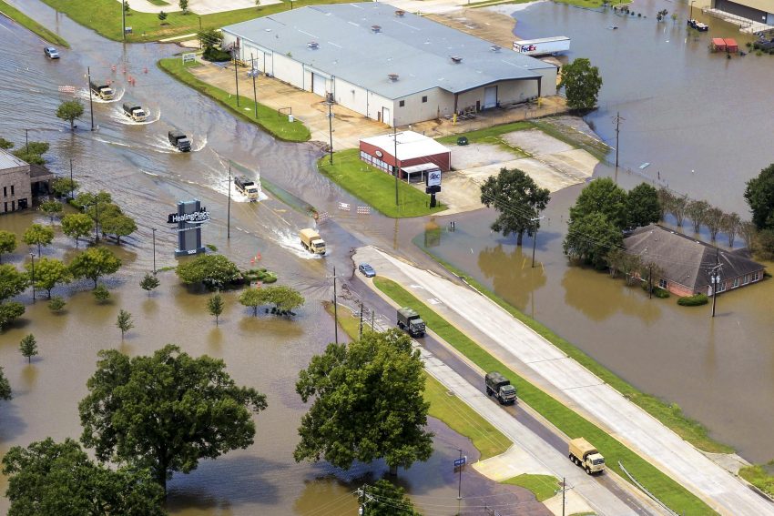
Further north, lines of storms will produce heavy rain and gusty winds. See our dedicated coverage of this weekend’s rain across the Plains and Midwest: http://bit.ly/2oQ60f8
Stay updated with Morecast on Twitter and Facebook for more updates on the severe weather.