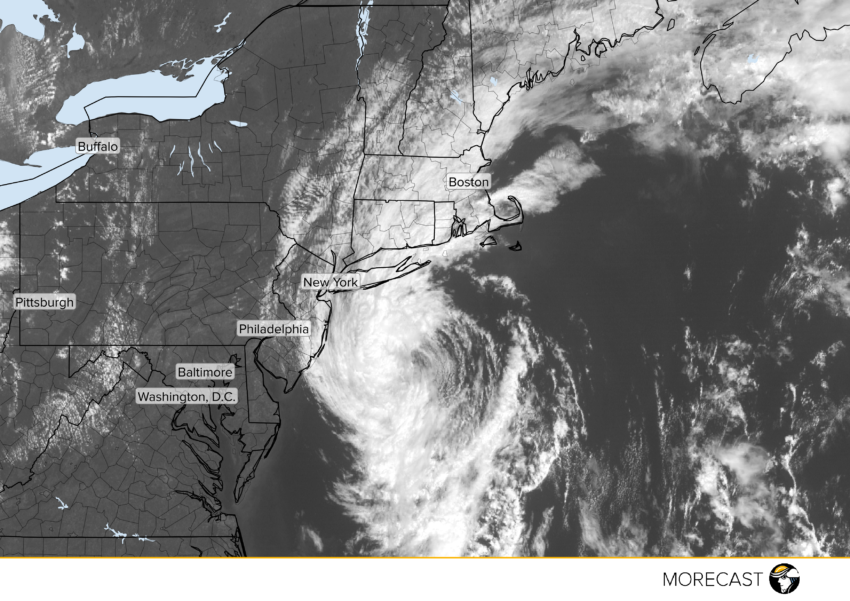
Post-Tropical Storm Hermine is likely to bring localized hazardous conditions to coastal New England.
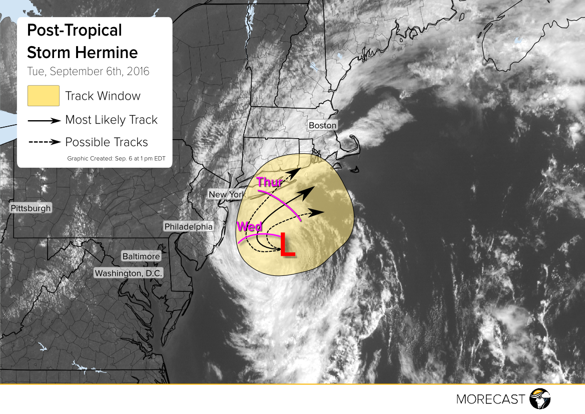
As the post-tropical storm continues to move to the northwest, Hermine moves closer to Long Island, roughly 110 miles off shore. The storm will shift to the northeast once again as Wednesday approaches. The National Hurricane Center has issued Tropical storm warnings for parts of coastal Long Island.
Impacts
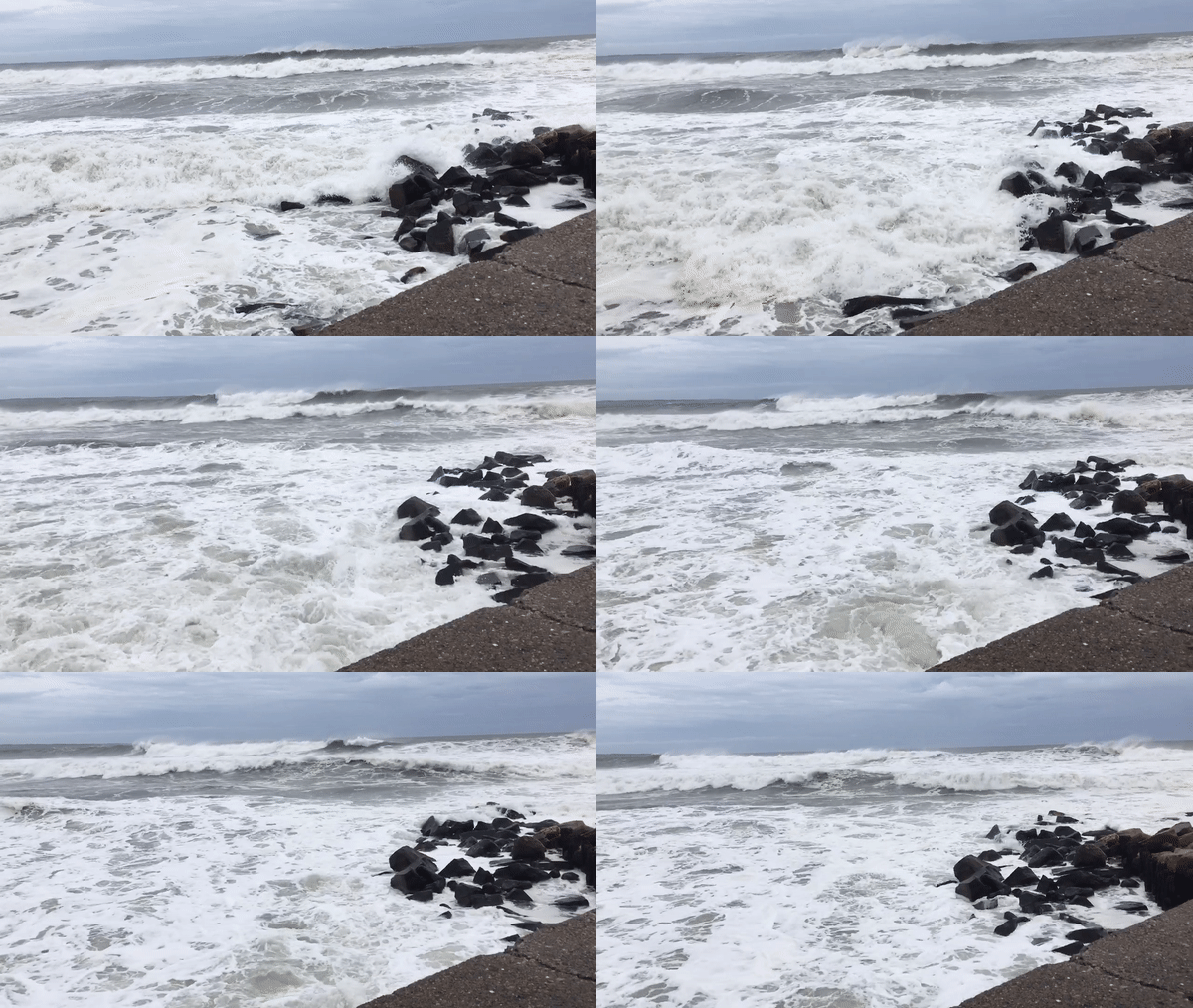
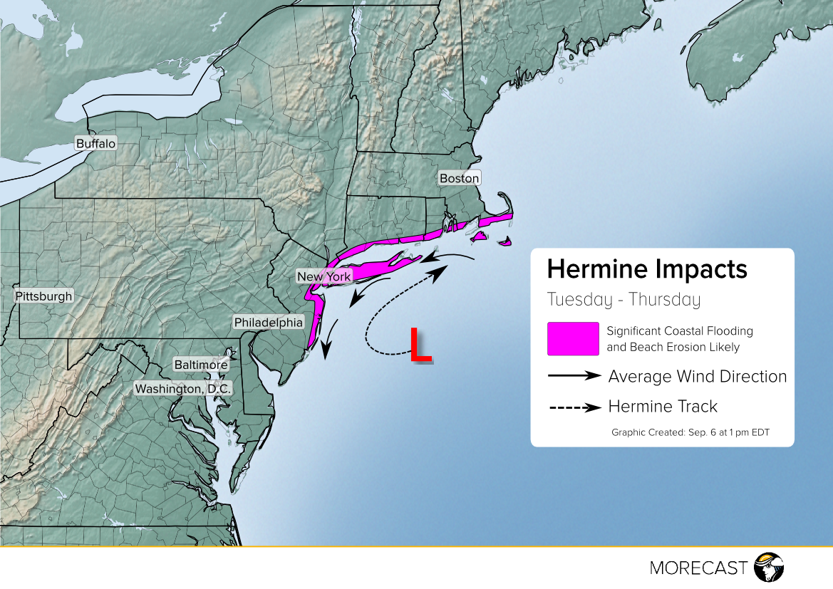
Since Hermine’s rain bands pushed further away from land, rain totals are expected to be minimal for much of the Northeast. However, Hermine’s wind and slow speed will drive storm surge and create large waves that will affect coastal communities. This slow moving nature will impact New Jersey to Cape Cod with impacts including major beach erosion, coastal flooding on roadways, and power outages for coastal communities.
Winds
Long Island and eastern New Jersey can expect the strongest winds later today. Wind gusts up to 60 mph cold be seen especially for coastal areas. The stronger winds will linger through Wednesday due to the system stalling out in the Atlantic Ocean but gusts can occur as late as Thursday.
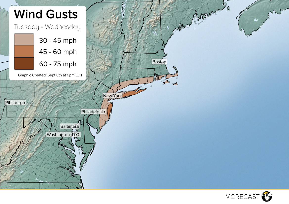
Coastal flooding and gusty wind threat will continue until late Wednesday. Since storm surge is typically the most deadly aspect of any tropical system, close monitoring will be vital.
Please pay close attention to emergency broadcasts from trusted sources if conditions become dangerous in your location.
MORECAST will continue to issue updates through our app, Twitter and Facebook pages as new information becomes available.
