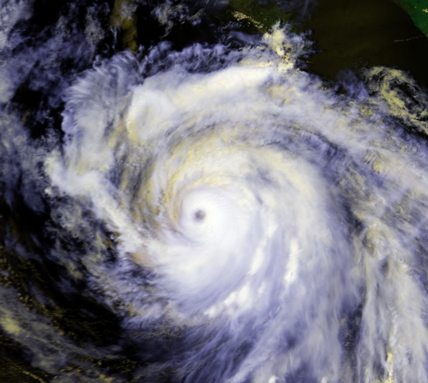
Twenty years ago, North America witnessed a rare meteorological phenomenon that had only been recorded ten times previously. Things began with a tropical depression near the Lesser Antilles that was named Cesar on July 26, 1996 before quickly strengthening to a hurricane. Hurricane Cesar plowed into the Nicaraguan coast from the Caribbean Sea, traversed the mountains of Central America, and on July 29, reemerged in the Pacific. Since storms in the Atlantic basin and storms in the Pacific basin use different names, Hurricane Cesar was renamed to Hurricane Douglass. Douglass continued on, tracking northwest until it finally dissipated on August 6.
Hurricane Cesar-Douglass was the most recent storm to make it from the Atlantic to the Pacific unscathed. Because there is no break in the landmass separating the Pacific Ocean from the Atlantic between Alaska and Patagonia, coupled with the mountainous nature of Central America, tropical cyclones have a difficult time surviving from Atlantic to Pacific with their circulation still in tact. A more common occurrence is when the broad area of thunderstorms that were once associated with a storm drift from one basin to another after landfall. This was last seen in 2014 when Tropical Storm Hanna formed from thunderstorms originally caused by Tropical Storm Trudy in the Pacific. Since the central circulation from the original storm is lost, this scenario doesn’t technically count as the same storm crossing from one basin to another, making a true crossover of from one basin to the next more rare and impressive!
