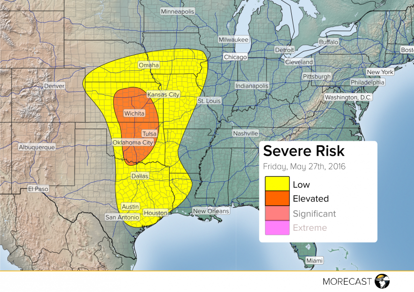
The past few days have been very active with baseball sized hail to strong tornadoes through Central U.S. There will be a decrease in the amount of wide spread thunderstorms outbreaks today but that does not mean severe weather will not be present.
There is an extreme amount of instability present through the plains. Storms are expected to trigger along the dry line and cold front which extends through central Kansas, Oklahoma and Texas. More forcing will be seen due to an upper-level low pressure system that moves into Kansas today. Main threats will be large hail and strong damaging wind gusts. An isolated tornado can not be ruled out but the potential is not as favorable as the past few days.
Storms and showers continue to linger through northeast Texas which will continue this afternoon. This will decrease the likelihood for widespread severe thunderstorms to occur through that area.
