How does a meteorologist spend his week of vacation? Storm chasing in Texas, of course!
Footage of towering cumulonimbus clouds, hail big enough to damage a vehicle, and tornadoes often circulate in the media during the spring months. Many folks are drawn to these spectacular images, but few have had the firsthand experience of planning and executing a storm chase. Below are some highlights from MORECAST Meteorologist Erik Pindrock’s first storm chase.
The video above was taken from a severe thunderstorm near Goldthwaite, Texas by MORECAST Meteorologist Erik Pindrock
Planning:
Planning a storm chasing trip a couple of months in advance is a lot like trying to hit the lottery; you are spending money at the chance of getting what you want with no guarantees of getting what you want. However, unlike the lottery, there is a distinct time of year when the probability of severe weather across the Plains reaches a peak, and that peak occurs from May into June. My chasing partner and I settled on starting out our chase in Texas during the week of May 9th, 2016.

Tools:
There are a plethora of tools one could bring on a chase. We went quite light for our first time, but we still made chasing work with what we had. There were four essentials that we carried with us.
- Laptop
- Kestrel 4500 (think of a kestrel as a handheld portable weather station)
- Ipad and a smartphone with RadarScope Pro capability
- Digital camera
The Chase:
The Monday we arrived in Dallas was an active day for severe weather across the Plains. There were 159 storm reports including 32 tornado reports. Once we landed in Dallas late Monday afternoon, we headed northeast to intercept the tail end of a line of supercell storms that had back built into northeast Texas to the town of Paris. We were able to catch up to a tornado-warned supercell that was putting down baseball sized hail about 30 miles away.

Once the sun set, we were given a terrific lightning show with plenty of intracloud and cloud-to-air strikes that averaged about a strike a second.
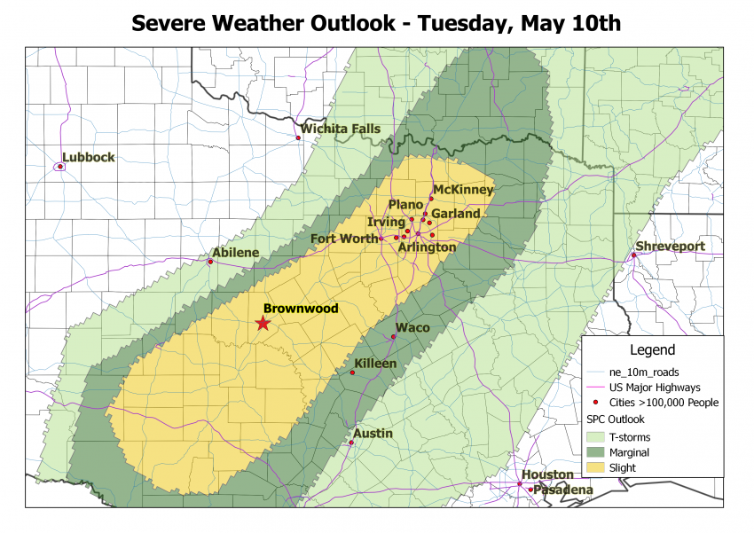
The next day was our most promising severe weather day of the trip. A dryline draped across central Texas would provide the main trigger needed for scattered supercell thunderstorms to develop with large hail and wind the primary concerns. After analyzing current conditions, model forecasts and sounding data, as well as forecasts from the Storm Prediction Center (SPC), we aimed to head about 3 hours southwest of Dallas to Brownwood, Texas.

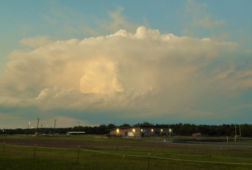
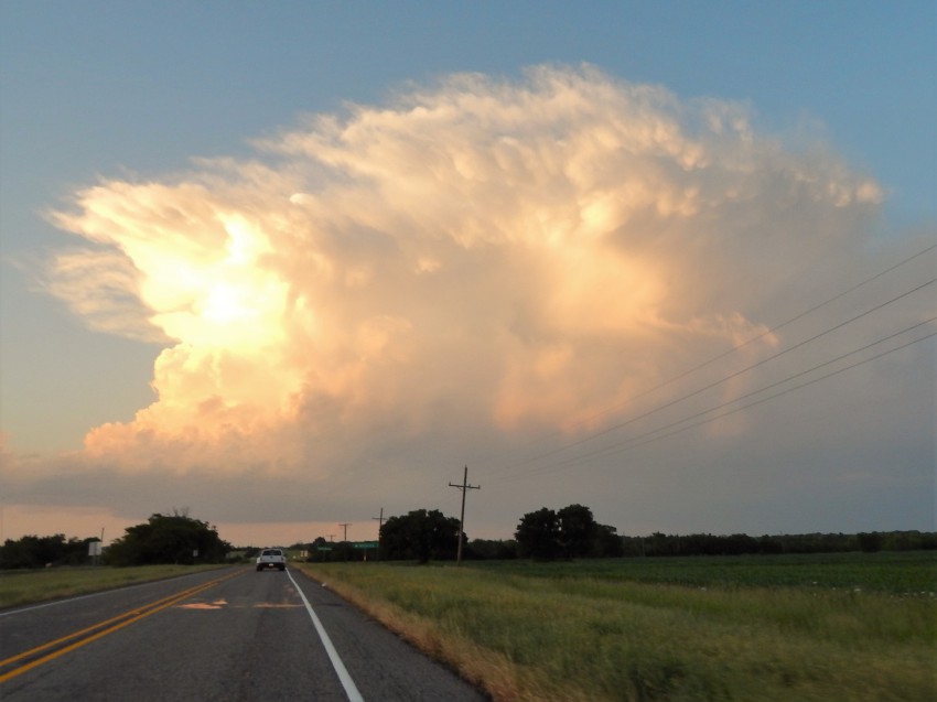
When we got to Brownwood at mid afternoon, towering cumulus clouds were in their infancy stages with full fledged severe thunderstorms erupting about an hour later. We ended up staying just ahead of a storm that develop around Brownwood and drifted toward the east-southeast to near Goldthwaite, Texas.

After Tuesday, there were not any more great opportunities in our vicinity to storm chase, so we turned to our Plan B which was to sightsee a few central Texas cities.
While you don’t need to be a meteorologist to try storm chasing, those interested in chasing for the first time should have some background knowledge of thunderstorms, including the tools needed for tracking storms, and also be aware of costs that can add up over the course of a week.
