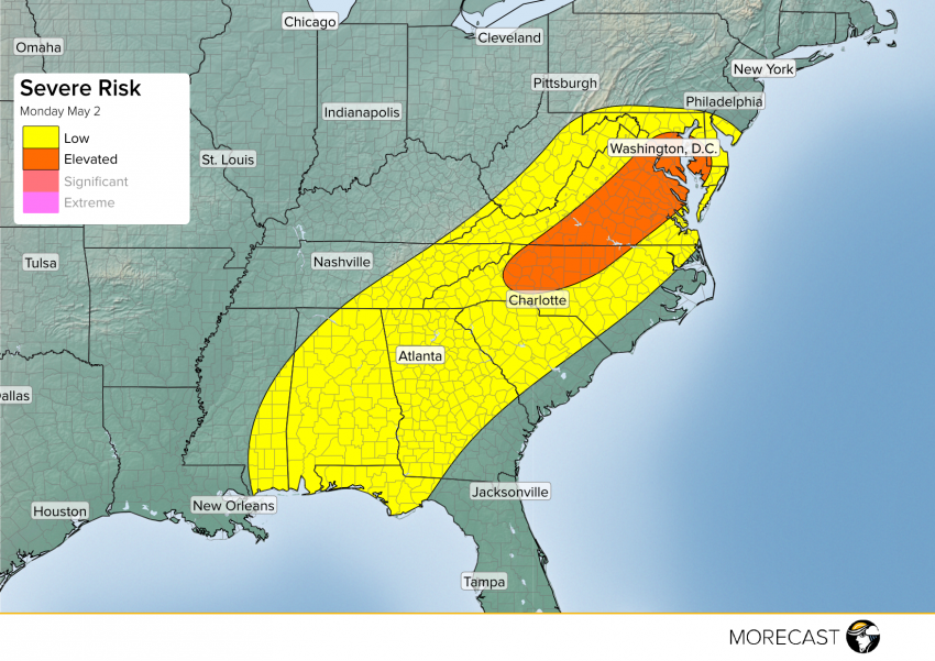
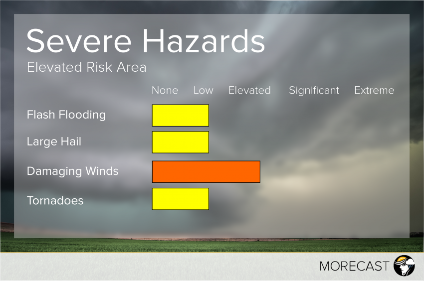
A weakened band of thunderstorms draped through the Tennessee River Valley down to the Gulf Coast will continue its progression eastward this afternoon bringing the chance for strong winds and small hail to the Southeast and Mid-Atlantic.As a humid airmass currently in place over the Southeast continues to destabilize through the afternoon, numerous summer-like popcorn thunderstorms will likely develop. The strongest of these storms may produce gusty winds and widely isolated small hail. These storms will fuel into a weak band of thunderstorms draped from the Ohio Valley back to the Mississippi River through the afternoon. As this line intensifies on the east side of the Appalachians through the afternoon, strong winds will become more likely. Below are some of the risks for locations in the threat area today:
Mid-Atlantic Elevated Risk Area
Southeast


