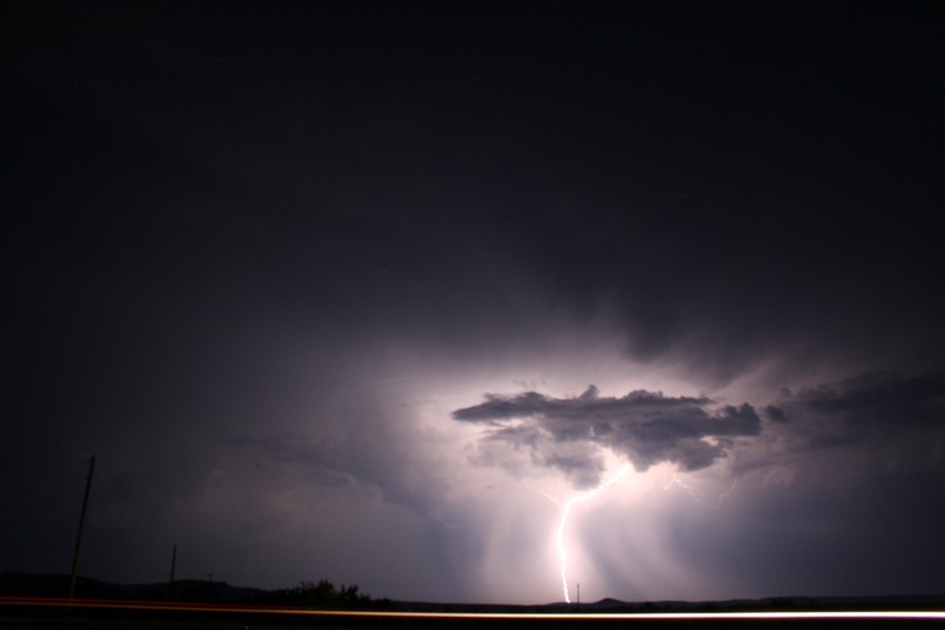
Severe thunderstorms begun to pop up in the southern Plains Sunday afternoon and are expected to continue into the evening hours for parts of Texas, Oklahoma, Kansas and Missouri. As a cold front moves southeast through the southern Plains, storms will begin to develop along the frontal boundary. In addition, a dryline extending down from western Oklahoma to the Texas-Mexico border will help produce additional thunderstorms, including the southern Texas area.
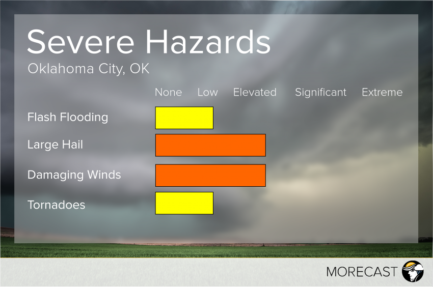
The strongest thunderstorms will be contained to the Oklahoma area and are expected to produce damaging wind gusts up to 65 mph and golf ball size hail. An isolated tornado or two cannot be ruled out for portions of Oklahoma and a small part of Texas, although wind and large hail will be the primary threat with these storms. An elevated risk for severe thunderstorms exists for portions of northern Texas, southeast Kansas, and far western Missouri as well as southern Texas, where storms could produce wind gusts up to 60 mph and quarter sized hail.
Enhanced Potential Area: Oklahoma City, OK
Storms likely for Oklahoma City just before 6:30pm CT Sunday. There is a slight risk of some of these storms producing a tornado but the greatest risk will be for damaging wind gusts and large hail. Thunderstorms will continue into the late evening hours, eventually becoming rain showers as the cold front moves further to the east.
MORECAST encourages residents in this region to stay alert as these storms can quickly become strong and dangerous. Check back for more updates as MORECAST meteorologists continue to monitor the developing storms.


