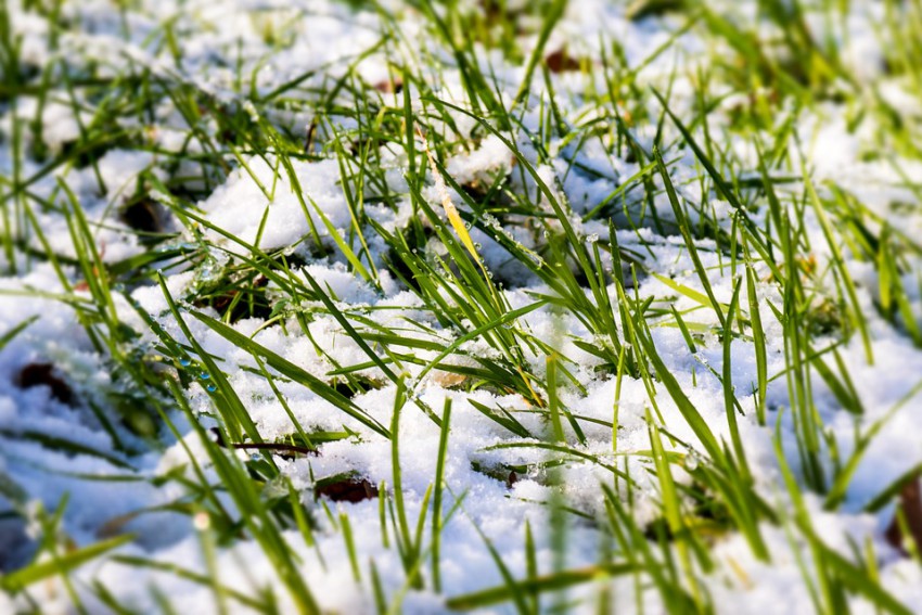
As we pass the spring equinox, people across the Northern Hemisphere are enjoying longer days and warmer weather (with a few notable exceptions). But what does this astronomical milestone mean to weather professionals and fans in terms of the transition from cold to refreshing warmth?
The “astronomical spring” north of the equator starts on March 20, the day on which the plane of the Earth’s equator passes through the center of the sun. On this date, there is nearly an even distribution of daylight between the Northern and Southern Hemispheres. In the Northern Hemisphere, this equilibrium point is reached as the days are getting longer. The lengthening daytime and increasing sun angle are contributing to steadily warming temperatures, which is in turn activating the ecological spring, the awakening of various plant and animal species from their states of winter hibernation.
These spring months are typically associated with rejuvenation and renewal after long stretches of snow and cold in the winter, especially across northern latitudes. Many cultures celebrate the transition not only to warmer weather but the planting season. The Mayans created one of the most elaborate commemorations of the spring equinox. The El Castillo temple at Chichen Itza was built between the 9th and 12th centuries CE to honor Kukulkan, the feathered serpent god. In the late afternoon on both the spring and fall equinoxes, the shadow of the side of the temple falling across the staircase on the northwest face makes what appears to be an undulating, snake-like pattern of light and shadow (see picture below).

In meteorology, seasons are defined by temperature averages. The three warmest months on average are June, July, and August, and are designated as summer, while the three coldest months of December, January, and February are called winter. The actual extremes of cold and warm temperatures lag behind the changing lengths of daylight and darkness due to the capacity of the ground to retain or resist heating – hence, the coldest part of winter usually occurs several weeks after the winter solstice. The spring months of March, April, and May are simply those months that fall in between the extremes of winter and summer. Even across the USA alone, “spring” develops in different ways and at different times between, say, Montana and Florida. For subtropical climates like the Gulf Coast and Florida, even the distinction between seasons is ambiguous. For instance, in the heart of winter average high temperatures in Miami are still in the upper 70s. Severe storms and heavy rain in this area are a potential threat year-round, and of course snow and freezing temperatures are virtually nonexistent.
Further north, however, the spring months feature a turbulent transition from cold and snow to warm and wet, often with the air masses trading places one day to the next. Indeed, this weekend’s coastal New England snow threat comes on the heels of almost two weeks of temperatures as much as 15-30 degrees above normal. In the Plains, especially, the clash of cold, wintry air masses with more spring- and summer-like warmth and moisture surging out of the Gulf of Mexico in April and May contribute to an increasing threat for severe thunderstorms, including tornadoes. For these areas, spring represents not only a welcome break from the blustery chill of winter but a familiar sense of dread at the risk of destructive storms.
Fortunately Mr. MORECAST will keep you informed of the latest forecast details via the app as well as Facebook and Twitter as we enter the busy spring weather season, starting with our recent outlooks covering severe storms and general temperature/precipitation trends.
