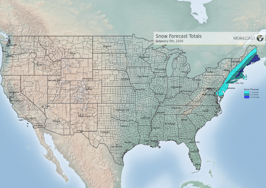
The snow will continue to pivot through parts of eastern New England through this evening. An additional 1-3 inches of snow are possible over these areas, with the exception of extreme southeastern Massachusetts and downeast Maine receiving an additional 3-6 inches plus of snow. This will make for a slippery evening commute for Boston, Providence, Portland, and Bangor. Additionally, these areas may also experience a risk of flash freezing as colder air moves in and results in icing forming on wet roadways.
The precipitation moved in initially as rain, but quickly changed over to snow during the early morning hours. there was also some excitement of thunder snow across parts of the New York City areas with a heavier snow band that moved through. The storm disrupted the morning commute as expected. A general coating to 1 inch fell across the Washington DC and Baltimore areas. Amounts ranged from 1-3 inches of snow across Philadelphia, New Jersey, and the immediate New York City area. Accumulations of 6 to 12 inches will have fallen across Hartford, Providence, Boston, and Portland, with isolated amounts of over 12 inches across higher elevations of east central New England and downeast Maine by the end of the storm.
