In response to a few headline-making forecast busts, most notably Superstorm Sandy in 2012, the U.S. federal government has made a major effort to close the quality gap between the American weather models and those run by agencies in Europe. Implemented in piecemeal fashion over the past 12-18 months, the upgrade has already yielded some modest signs of improvement. But how did the models perform with the “Blizzard of 2016”, one of the biggest snowstorms ever to hit the United States?
NOAA (the National Oceanic and Atmospheric Administration) announced early in 2015 that a tenfold increase in computer processing power was being implemented through a contract with IBM and Cray Supercomputers, Inc. This upgrade would bring operational computing speeds up to 5 petaflops, or 5 quadrillion operations per second, comparable to resources available to NOAA’s cross-Atlantic “competitor” agency, the European Center for Medium-Range Weather Forecasts. A large portion of the new NOAA supercomputing capability is devoted to running an updated version of the GFS (Global Forecast System), NOAA’s flagship forecast model.
High-profile examples of the European model’s superiority, such as Sandy, prompted the fresh infusion of federal funds to facilitate this computing upgrade. Early indications are that the increased computing power is helping the American models gain ground. However, other factors must be considered in the attempt to root out the cause of and resolve the performance discrepancy. Experts point to shortcomings in how the American models process clouds, precipitation, turbulence, and the rest of the fundamental building blocks (or parameters) within the model’s code structure. The European model also assimilates a larger and more diverse set of real-time observations, the key to getting any particular run off on the right footing, a process called “model initialization”.
The early-2015 upgrades seemed to yield immediate results when the GFS outperformed the European models forecasting a big blizzard that slammed southern New England but narrowly missed New York City. However, later in 2015, the European model rallied by being the only model to correctly predict that Hurricane Joaquin would turn out to sea instead of striking the Eastern Seaboard. Testing the quality of one model against another on a storm-by-storm basis can be misleading, however, and more stable, statistics-based measures of model performance are typically used by researchers to grade the models.
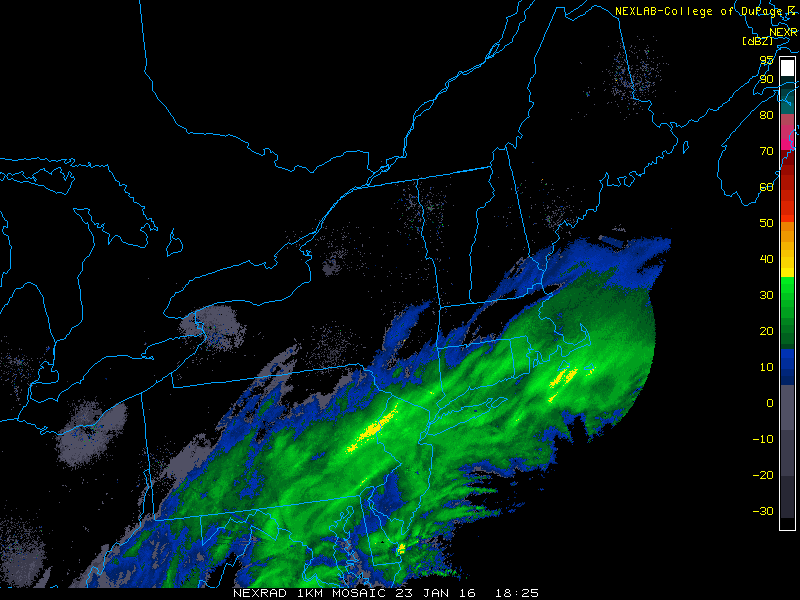
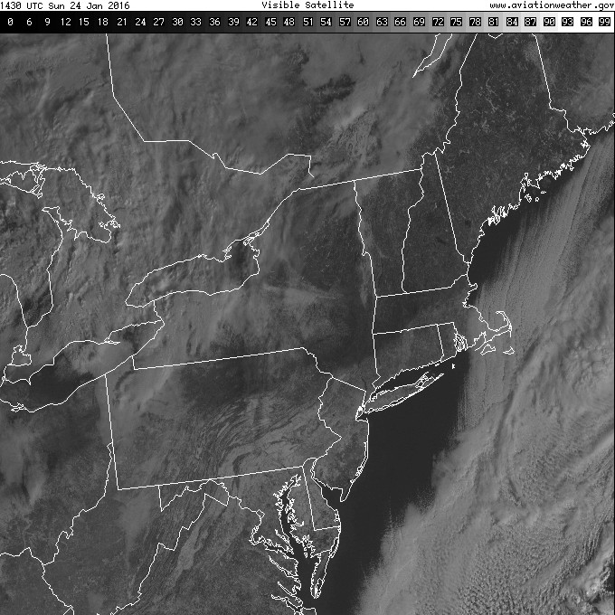
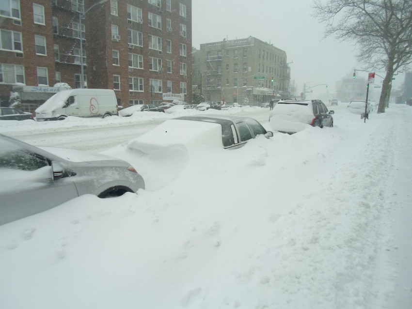
How did the GFS and European models do forecasting the “Blizzard of 2016”? It depends on who you ask. Residents of Washington, D.C. would say that both did just fine, nailing the potential for record-busting snowfall totals at least 6-7 days ahead of time. New Yorkers might disagree, though, since neither model forecast more than 10 inches of snow accumulation there until the night before a storm that dropped widespread totals more than double that amount. The only model that had it right from the beginning across the Urban Corridor was the North American Model (NAM), a high-resolution American model. Unfortunately, the NAM’s long-acknowledged habit of crying wolf and performing poorly prior to about 36-48 hours before the storm tends to cause a forecaster bias away from it and towards the GFS and European when there are disagreements. Instead of hovering just off the New England coast, as the GFS and Euro suggested, the heaviest snow band stalled right over the major cities, much as the NAM depicted, with a sharp snowfall gradient just to the north (see radar and satellite imagery below). Even in the age of petaflops and microclimate resolution, the infinite minutiae of atmospheric physics can sometimes make our favorite weather models look foolish.


