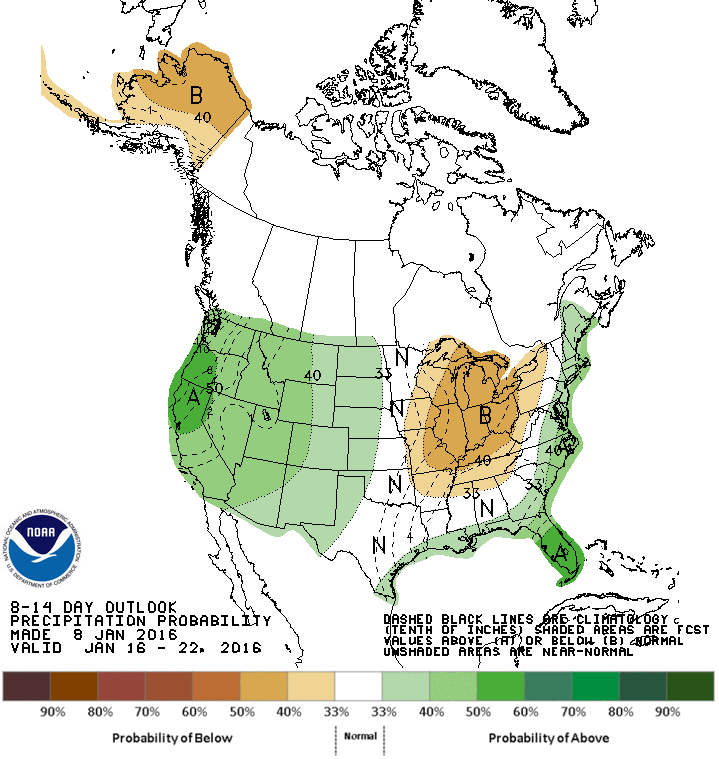
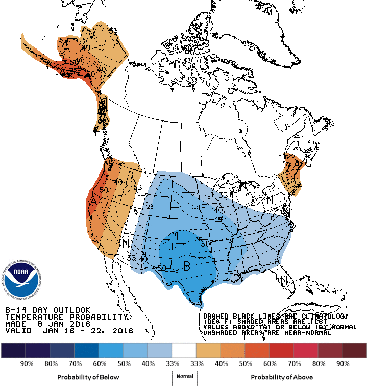
December proved a fitting end to a 2015 that is being recognized as the warmest year in the global climatological record. However, there are indications that the recent cool down in the East is the beginning of some actual winter weather, perhaps even holding the promise of snow for cities along the Urban Corridor that have been shockingly flake-free deep into the winter season.
Thousands of warm temperature records were not just broken but shattered in December, especially in the central and eastern United States. Dozens of cities were at least 10 degrees Fahrenheit warmer than normal, a staggeringly large departure for such a long duration over a large geographic area. This warm pattern was due in part to one of the strongest El Niños on record, leading to an active southern jet stream pumping warm, moist air from the tropical Pacific into the United States. In addition, so far this winter the polar jet stream has remained well north of the eastern U.S., prohibiting the frigid Arctic air that is always waiting in the far northern latitudes from plunging south. However, while the El Niño is expected to remain strong through the remainder of winter and well into spring, the polar jet is becoming more amplified, dipping south and allowing a much colder air mass to spread across the Plains, Midwest, and East. This combination of a strong El Niño with an amplifying polar jet could improve the odds of a big East Coast snowstorm sometime in the next week or two.
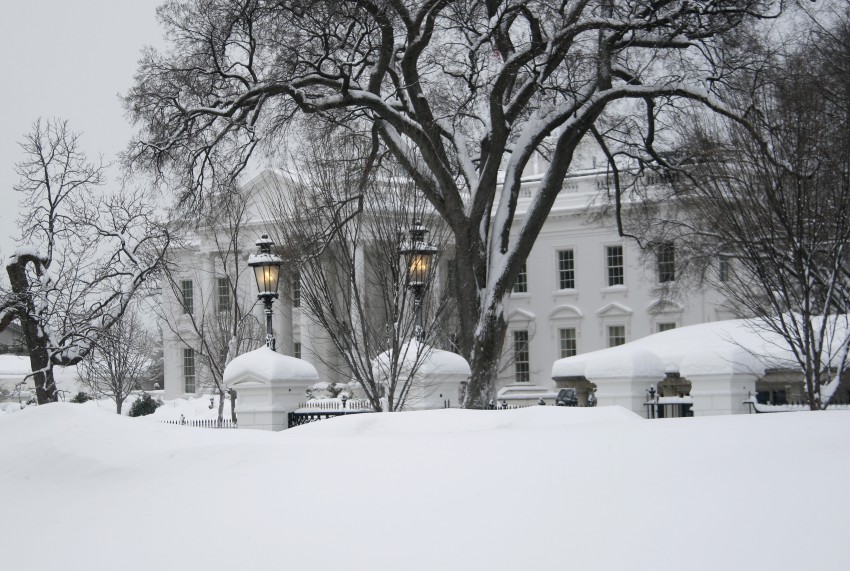
The upcoming pattern is reminiscent of the winter of 2009-2010, one of the snowiest seasons ever in the Mid-Atlantic. Baltimore, Washington, DC (see picture of White House above from Feb. 22, 2010), and Philadelphia set all-time seasonal snowfall records, Philly by almost 20 inches. In that season, too, a solid El Niño coincided with a favorable southward dip in the polar jet. The main difference was that in 2009-10 this amplified pattern became stuck with bitter cold and heavy snow lingering over the Mid-Atlantic for weeks. The strength of the current El Niño means that a prolonged cold period is less likely for the East, but the developing amplified polar jet means it’s more likely that even a temporary Arctic intrusion could coincide with the active southern jet stream to spark explosive storm development.
Temperatures have retreated to near normal this week as a precursor shot of cold air traverses the East, but the first real Arctic plunge is taking aim at the Upper Midwest for this weekend into next week. Minneapolis, Minnesota has yet to see temperatures below zero˚ F (-18˚ Celsius) this season, one of the longest stretches to begin any winter without subzero temperatures, but that looks to change Saturday night or early Sunday. Temperatures as cold as -20˚ F (-29˚ C) will affect portions of northern Minnesota both Saturday night and Sunday night. The air mass will modify as it moves east but could still prove cold enough for snow if the right system approaches.


The models suggest at least a slim potential for a storm to threaten the East Coast next week, especially in the Wednesday to Thursday time frame (13-14 January), but there are many variables that need to come together to produce a snowstorm for the big cities. The question isn’t whether a storm will form but how close to shore it will move. A hundred miles north or south could mean the difference between a detour for offshore fishermen and a paralyzing snowstorm in the densest population centers of the United States. Keep track of the latest forecast updates for major cities and everywhere in between using your MORECAST app!
