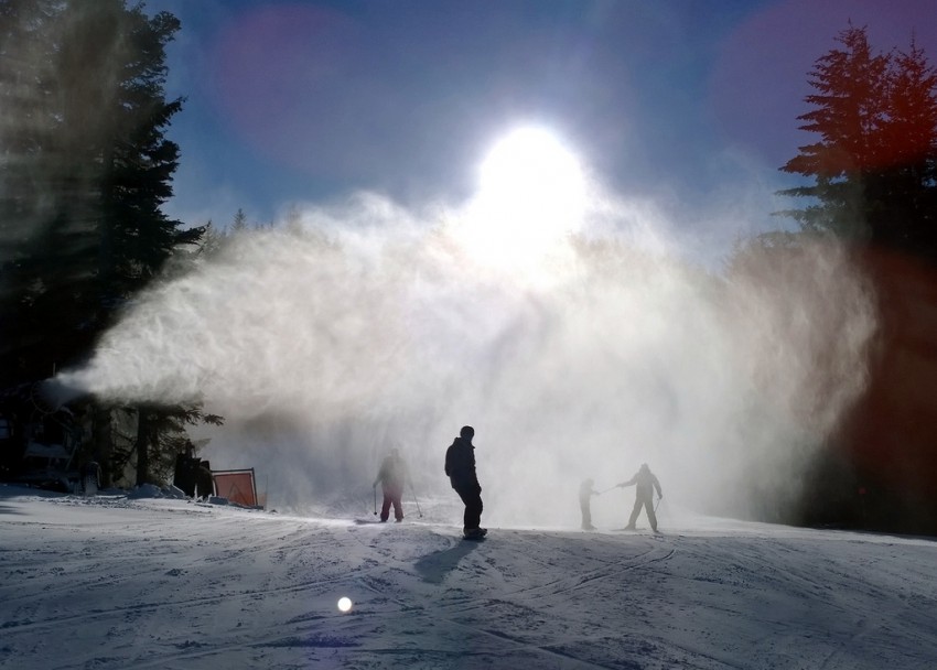
Kids who unwrap ski boots and poles this Christmas morning in the Northeast US may ask their parents what Santa could possibly have been thinking sending these unfamiliar objects down the chimney. Mountain resorts across New England that are normally packed around Christmas are eerily deserted this year, brown and dreary instead of bright and white after one of the warmest and least snowy Decembers on record.
The Jay Peak Resort in northern Vermont, near the Canadian border, typically receives the most snow of any of the major Northeast resorts, around 354 inches on average for the season, but this year only 18 inches have fallen. Only seven trails are open out of a total of 78 on the mountain, and those thanks to a mammoth man-made snow-making effort this past weekend during a brief “cold” snap when temperatures were near normal instead of being 15-20 degrees too warm. The Killington resort, a bit further south in central Vermont, has only seen five inches so far. Of 155 possible ski runs on the mountain only 24 are open with a paltry average base of 8-12″ of mushy, machine-made snow.
It’s not only ski bunnies that are missing the white stuff this week. The major coastal cities in the Northeast including Washington, Philadelphia, New York and Boston have yet to see their first snow flake, much less the inch of snow accumulation on the ground required to qualify for a White Christmas. Even higher elevations of the interior Northeast that are usually a virtual lock for a White Christmas will go without this year. Record high temperatures are the story instead with cities up and down the Eastern Seaboard shattering records on Christmas Eve, as much as 30-40 degrees warmer than normal. The observation station at Central Park in New York City peaked at 72 degrees on Christmas Eve, just three degrees shy of the high temperature recorded there on July 4th!
By contrast with their emaciated cousins in the East, ski resorts in the Rockies and West Coast are seeing solid holiday crowds thanks to abundant snowfall in late November and December. The Vail resort just west of Denver, Colorado has reported 117 inches of snow with 91% of trails open for skiers. Park City, Utah, has seen 110 inches this season, including 34 inches of fresh powder on Monday and Tuesday, 21-22 December. Resorts dotting the Cascades Range of Washington and Oregon have reaped the biggest harvest from a nearly continuous procession of heavy storms in December. Crystal Mountain in Washington has reported 222 inches so far this season, already halfway to their seasonal average and just 12 inches shy of the snowfall total from all of last season. All trails but one are open on the mountain, if you’ve got a rugged enough vehicle to make it up to the resort.
The highly amplified, stormy pattern responsible for keeping the Western resort owners beaming has thus far moved storms well north of the Eastern US, but the pattern is looking to shift this upcoming weekend. A blizzard will eject across the Southern Plains on Sunday and Monday, targeting the major interstates through cities like El Paso, Abilene, and Oklahoma City. Torrential rain will lead to major flash flooding just to the east from the Ozarks up into the Ohio Valley. The forecast picture is fuzzier for the Northeast but there are indications that this storm could be the one to break the snow drought, especially for the higher elevations of the interior, with an icy mix potentially affecting the lower valleys.
