From the GOES 1 launch in 1975, to the cutting edge, next generation GOES-R program, NOAA and NASA have continuously pushed the boundaries of satellite meteorology. The Geostationary Operational Environment Satellite (GOES) system is a highly advanced weather monitoring system, providing data for operational forecasting and research alike.
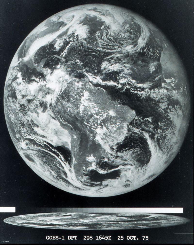
 The GOES story began in the 70’s, after the success of the Synchronous Meteorological Satellites – NASA’s first orbiters dedicated solely to providing weather information.GOES 1 was the first satellite in the series to start streaming imagery to scientists back on the ground. To the left is the first full disk image to be beamed down to Earth. GOES 1 was closely followed by 2 and 3, and by 1978, when GOES 3 was launched, forecasters had access to unrivaled quality of data for the time. Every orbiter from GOES 1 through 11 is now decommissioned, save for two – GOES 3 and 7. In a true statement to the quality of the engineering crews, GOES 7 operates for Peacesat to this day, and more remarkably given its 9 year seniority over GOES 7, GOES 3 still serves as a communications relay for the South Pole research station. Interestingly, since the satellite was never designed to operate for the South Pole, it can only be contacted for 5 hours of the day on it’s current orbit, hidden from radio sight by the Earth for the other 19 hours of the day.
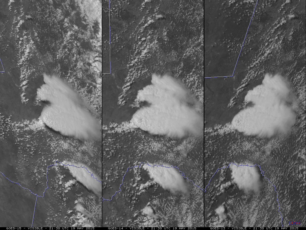
Nowadays, NASA and NOAA’s current operational spacecraft are GOES 12 through 15. The images you see on TV and online are from GOES 13 and 15, more commonly referred to as GOES East and GOES West, respectively. Each can operate in two modes: “routine scan’’ for general forecasting use, and “rapid scan’’ for use during severe weather outbreaks and hurricanes. Routine scanning produces imagery of large areas, in the standard quality you will see from most weather sources. Rapid scanning, however, is a lot more detailed. During severe weather and hurricanes, the equipment can focus on more isolated areas of weather. High-resolution pictures, like the one to the left, are sent to scientists once a minute, enabling an exceptionally detailed view of how storms are behaving.
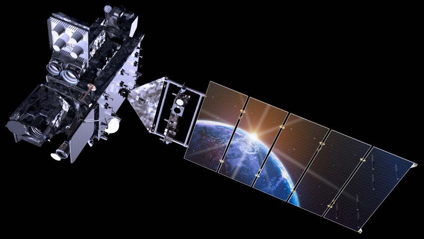
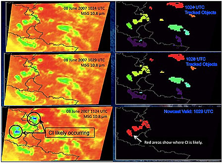
While the current set of satellites are good at what they do, the 2016 launch of the next generation GOES-R has scientists excited. A significant increase in data quality, along with a suite of new products will allow forecasters to produce better quality forecasts with longer lead times. One such product that will eventually be available is “Convective Initiation” (pictured below). Complex algorithms will identify individual clouds that appear most potent, giving forecasters the ability to focus on certain areas, and dedicate more time and attention to storms that need it. With that and the wide array of further products that are just as innovative and useful, this next set of orbiters will be truly game-changing to the weather world.

