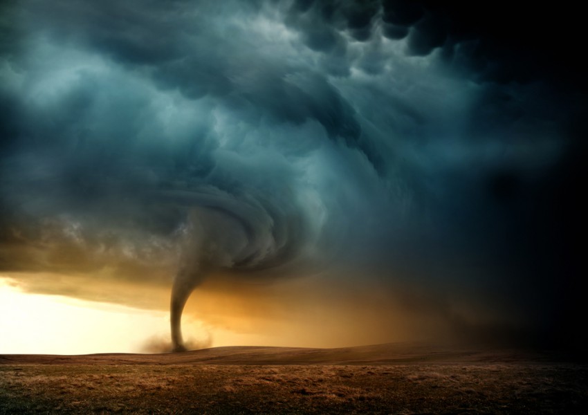
They look ominous, but cold-air funnel clouds are usually harmless.
Typically before a tornado forms, it is preceded by a funnel cloud sticking out from the bottom of a supercellular (rotating) thunderstorm. While not all funnel clouds will produce a tornado, it does indicate the presence of tight rotation at the bottom of the storm, and that a tornado is possible at any moment should that rotating column of air reach the surface.
However, there is one type of funnel cloud that may look scary, but often times is quite harmless. These are known as cold core or cold-air funnels. They are sometimes seen across portions of the northern United States and Canada, including the Pacific Northwest, Great Plains, Great Lakes and Canadian Prairies. So what differentiates these funnels from those typically associated with severe weather and tornadoes?
Cold-air funnels look similar to the funnel clouds found with severe thunderstorms, but the weather patterns they form in are vastly different. As their name suggests, cold-air funnels form when the atmosphere is unusually cool, especially in the mid- and upper-levels, about 7,000 to 15,000 feet above the ground. Funnel clouds that form with supercells are usually in the warm sector of a larger scale storm system (usually near a boundary such as a cold or warm front) while cold-air funnels are found behind a cold front, in the cooler air mass.
Another key ingredient for a cold-air funnel to form is wind shear: winds of differing speeds and direction. Wind shear may interact with the updraft and cause it to start rotating into a vortex underneath the base of the cloud. If enough moisture is present in the updraft, the moisture will condense, forming into the visible funnel cloud at the base of a cumulus cloud.
While a funnel cloud associated with a supercell thunderstorm can produce a tornado at any moment, it’s quite rare for a cold-air funnel to form into a tornado, though it’s not impossible. In those rare cases, tornadoes that started as cold-air funnels are typically weak EF0 twisters and last only a couple of minutes, and any damage tends to be minor. However, the significant majority of cold-air funnels that are observed remain well above ground and cause no problems at the surface.
Since cold-air funnels typically form in an otherwise quiet and benign weather pattern, people are often caught off guard when they see them. And due to their small-scale nature, cold-air funnels are difficult to forecast. If you see one, you should still try to avoid it in the rare instance that it is able to form a tornado, but there’s no need to panic.
Even the National Weather Service (NWS) treats cold-air funnels differently. With supercell thunderstorms, the NWS will issue a Tornado Warning if they know a funnel cloud is present. But in the case of cold-air funnels, the NWS will typically not issue a warning. Even in the rare cases where there is a tornado associated with a cold-air funnel, they dissipate so quickly that by the time a warning were issued to the public, the tornado would likely already be gone.
While they are possible any time of year, they tend to be most common in the later summer and early fall, as well as late spring and early summer, due to the mixture of cold air aloft and warmer air needed below to form the cold air funnels.
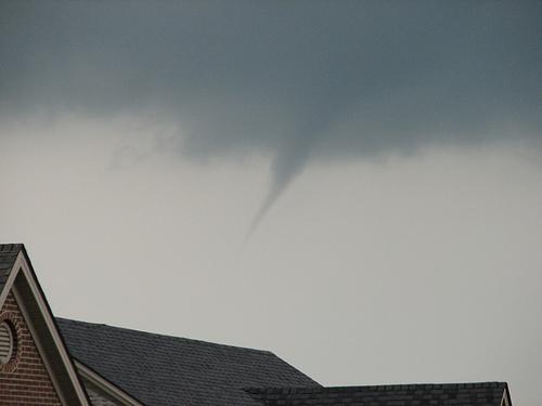
Cold-air Funnel Cloud, Lexington, Kentucky (May 5, 2007)
Source: National Weather Service
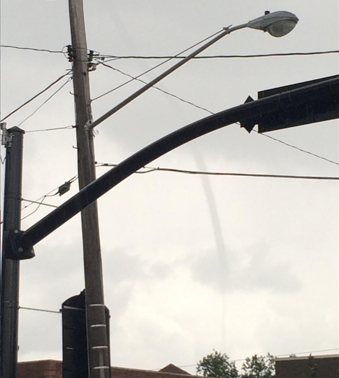
Lowering Cold-air Funnel near Cleveland, Ohio (September 2015)
Source: Jessa Moser