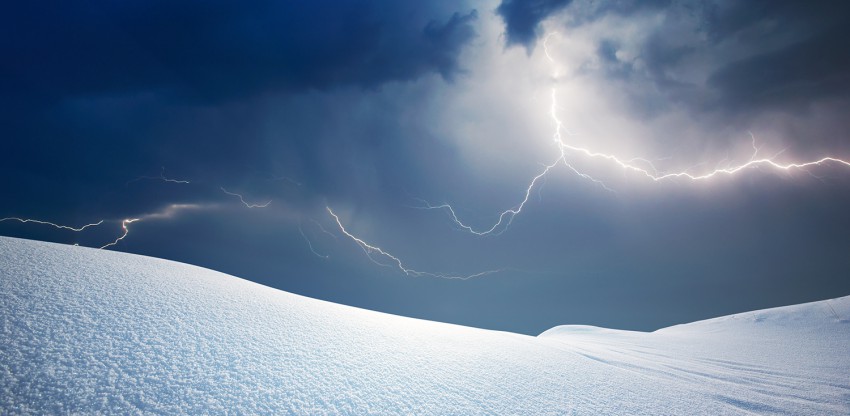
The wind is howling, the flakes are falling, it’s a classic blizzard! But suddenly, you see a flash, and then boom! Thankfully, that was not your roof collapsing under the weight of the snow, but instead a rare phenomenon called thundersnow. Many people who experience this phenomenon are perplexed and skeptical that thunder and snow can happen simultaneously. Granted, it is indeed a rare phenomenon, but when certain meteorological parameters are present in winter weather, it can occur.
Dynamic winter weather systems are monitored closely by meteorologist, but thundersnow is hard to predict. One thing that is crucial for weather forecasting and forecasting the possibility of thunder and lightning is to monitor all levels of the atmosphere from the surface to thousands of feet aloft using soundings. The data from soundings compiles meteorological information about the atmosphere from the surface to altitudes as high as 60,000 feet (18,300 meters).
Typically, when one pictures a thunderstorm cloud, it is usually a large, puffy cumulonimbus cloud with precipitation falling from its base. The source for these “warm” season clouds are generally heat and moisture which can help make the atmosphere unstable. An unstable atmosphere provides the buoyancy or lift to grow these clouds to the large, puffy, and stormy appearance that they later take on. However, during vigorous winter storm systems, enough heat and moisture may be transported aloft to grow clouds producing snow at the surface.
It may seem counterintuitive to associate “heat and moisture” with winter weather, and generally speaking, it is. However, from a meteorological standpoint, “heat and moisture” becomes contextual with each season. From the aforementioned sounding data, a weather forecaster can determine if sufficient heat and moisture is present for a cloud to grow and produce lightning and thunder. Heat and moisture can make the atmosphere unstable, but an important mechanism for making it unstable enough to produce lightning and thunder from the clouds is by having colder air above the warmer layer. Warm air is less dense and lighter than cold air, and when surrounded by colder air, it will become buoyant, rise, and condense into clouds. If there is a large temperature gradient between the lower altitude warmer air and the higher altitude colder air, the clouds can grow larger to that large, puffy cumulonimbus appearance you may commonly observe in the summertime. Positive electrical charges will rise to the top of the clouds while negative charges will remain at the bottom. This separation of charges can create a lightning bolt and eventually the sound of thunder.
During an intense winter storm, the jet stream, a fast belt of winds aloft, is typically stronger than usual, and the winds can quickly transport colder, polar air to the upper levels of the atmosphere. Closer to the surface, as the center of the intense winter storm approaches, warmer air can be brought in and warm the lower levels. With a large temperature gradient now present between the lower levels and upper levels, clouds producing snow at the surface can grow and eventually produce thunder and lightning.
If you encounter thundersnow, the event is usually not severe, and much like a thunderstorm, the rate of precipitation in thundersnow can be greater and produce locally higher snowfall amounts. In some extreme instances, strong gusty winds and small hail have been observed as well. Thundersnow is an oddity of weather and very rare winter weather phenomenon, so those who witness it should feel very lucky to experience such an event!
