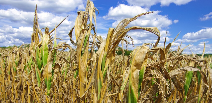
As we head into the second half of winter, a moderate El Nino pattern that began in March is showing signs of strengthening in the Pacific Ocean. Forecasters in both Australia and the United States are calling for a high probability that El Nino will continue into early 2016, and multiple climate models are indicating this El Nino may end up being one of the strongest on record. As a result, significant changes to weather patterns are possible in Australia.
El Nino refers to persistent above average water temperatures in the eastern equatorial Pacific off the coast of South America. The warmer waters cause wind and pressure patterns in the atmosphere to shift and adjust in strength, leading to changes in weather around the world.
In Australia, an El Nino is considered to be ongoing when sea surface temperatures in the eastern Pacific are at least 0.8°C above average for three consecutive months, along with associated changes to wind patterns, air pressure and thunderstorm activity across the western and central Pacific Ocean. As of early July, sea surface temperatures in the eastern Pacific were averaging from 1.0°C to 1.4°C above normal, and the expected changes to circulation patterns in the atmosphere during El Nino events were being observed. El Nino’s are generally considered strong when the SST anomaly tops 1.5°C, so we’re almost to that point.
El Nino events tend to shift normal thunderstorm activity in the western Pacific Ocean eastward, leading to drier conditions for countries along the western Pacific, including Australia. This shift in rainfall increases the risk of drought. In fact, of the 26 El Nino’s recorded since 1900, 17 have resulted in drought in parts of Australia. However, according to the Australian Bureau of Meteorology, the overall strength of the El Nino does not necessarily correlate to the severity of a drought, as minor, moderate and severe droughts have all been recorded in both weak and strong El Nino’s respectively. But as you can see in the diagram, below average precipitation was often observed in the winter months in northern and the eastern half of Australia during the 12 strongest El Nino’s on record.
These trends have already started showing up this winter, with below average rainfall in portions of Queensland and Victoria over the previous three months.
Other impacts associated with El Nino include above average temperatures for the southern half of Australia (most pronounced in southeastern parts of the country), but there is a catch. Because overall cloud cover tends to decrease during El Nino’s, it increases the risk of nighttime frost during the winter and spring since it’s easier to cool off at night, putting crops at risk.
Wrap Up
So we’ve seen the general impacts El Nino may have in the coming months in Australia. But it should be noted that other factors not associated with El Nino may cause these patterns to be either enhanced or diminished. But past El Nino events do provide an overall guide to forecasters on what may be in store in the months ahead as the warm waters linger in the eastern Pacific Ocean.


